
Snowy River Rover
/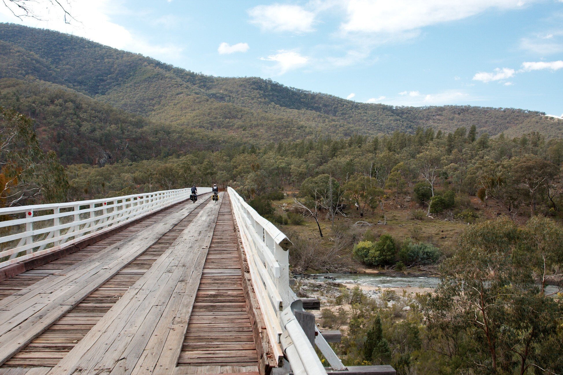
Mckillops bridge, snowy river. photo by alex thompson
This is a guest contribution by Stephanie Quinceton. A big thanks to Stephanie for sharing her knowledge of this part of the world. ACV welcomes submissions for new routes. If you want to contribute a route, get in touch via the contact page.
Where: East Gippsland
Length: 422km (elevation gain 5500m)
Difficulty: hard
Terrain: mix of flat and hilly terrain. Some steep hills.
Surface: sealed and unsealed roads, rail trail. Some rough and corrugated parts. Can be done on a gravel bike.
What: rail trail, rugged remote gravel roads, wilderness, breweries


Highlights:
Nowa Nowa, including the Gem Stone and Tree Root Gallery
Caution for all:
Log trucks/4WD traffic, narrow, gravel roads, isolation, limited phone coverage throughout the ride.
As this ride goes through remote, forested regions, be aware of fire danger before you go: https://www.emergency.vic.gov.au/respond/
McKillops Road is a ‘dry weather road only’, meaning that it will be closed due to safety in certain weather events, including heavy rain. Prospective cyclists are encouraged to check MapShareVic and/or speak to local Parks or DELWP representatives (Parks Victoria - 13 1963, DELWP (Orbost) 03 5161 1222)
Getting there
This route starts and finishes at Bairnsdale train station. See V-line for more info.
Best time to go
All year round. Note McKillops road (C611) is a ‘dry weather only road’, and there can be freezing temperatures during winter and potential water shortages in summer. Suggested: March-May; September-December. Be aware of fire danger in warmer months via the Vic emergency website.
A note on the notes…
I was lucky enough to do this ride over Easter 2019, approximately eight months before East Gippsland was devastated by bushfires. I don’t know the full impact the bushfires had on this route, but I should say that the descriptions below are based on what I saw in April 2019, and hopefully what will be there again.
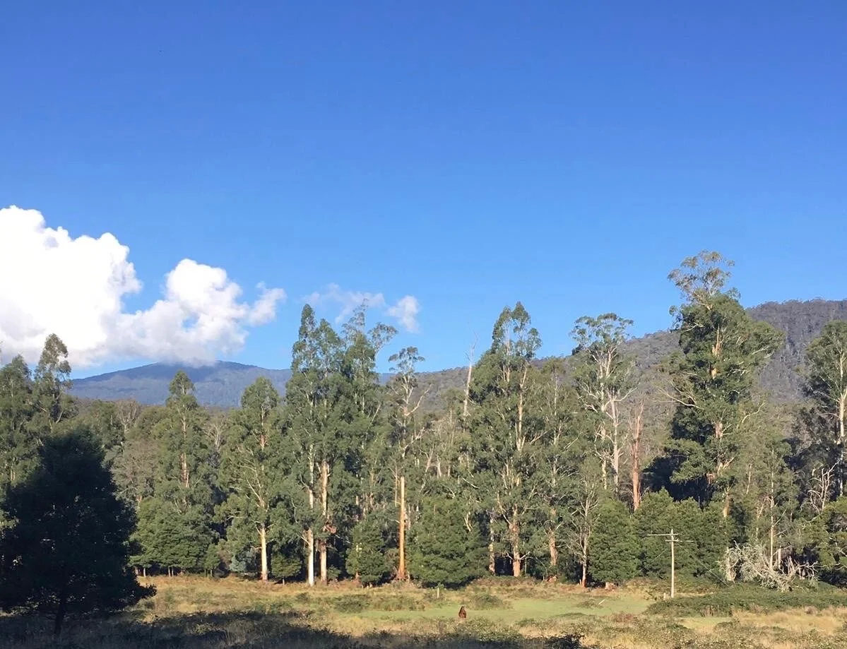
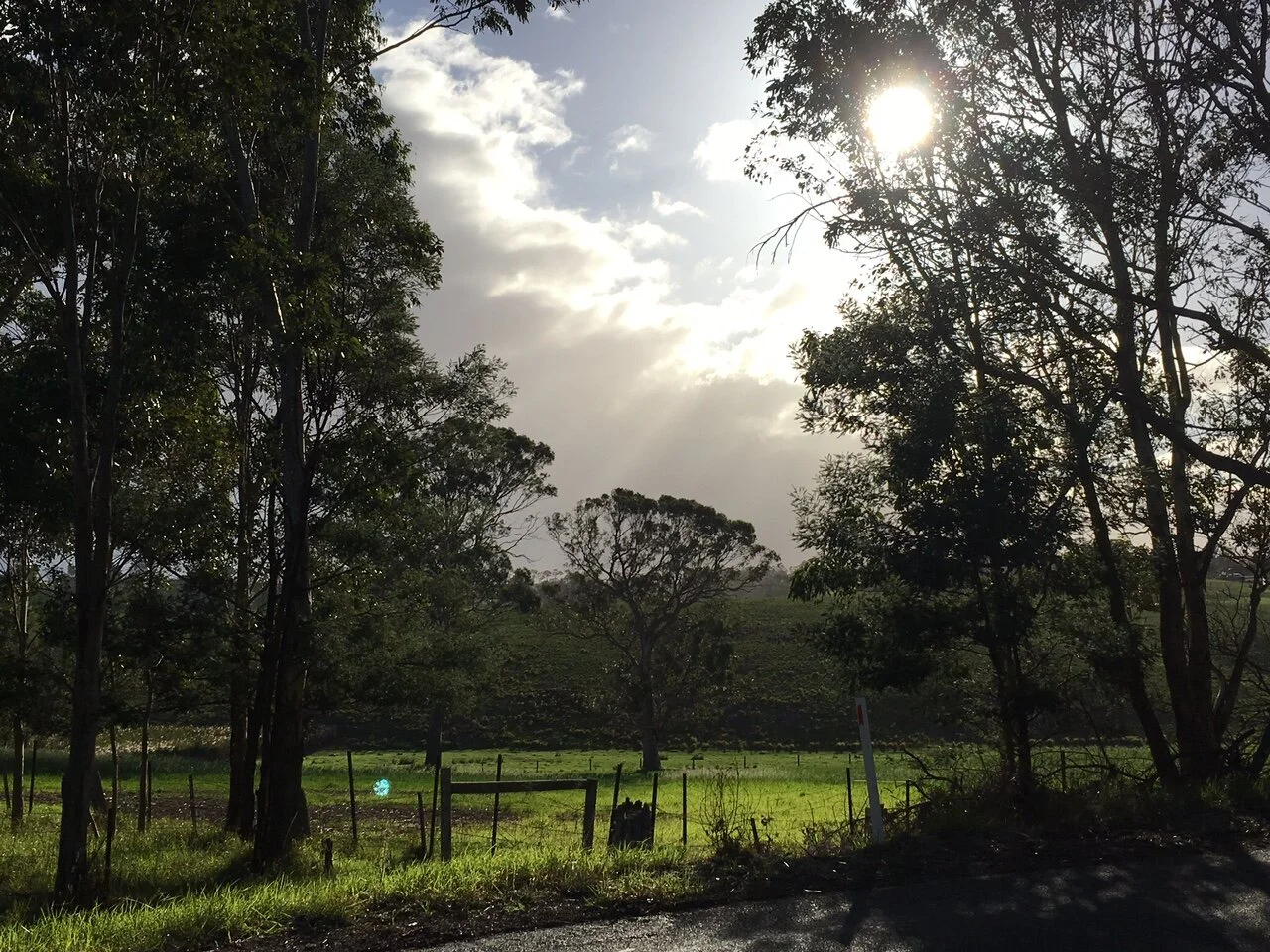
Starting and ending in the town of Bairnsdale, this route winds through the diverse landscapes of Gunai Kurnai Country as it takes you deep into the East Gippsland wilderness and up into the rugged and mountainous Snowy country.
This ride offers stunning scenery that changes everyday, from open farmland to stringybark forests, before heading into the cool temperate rainforest, finally reaching the drier, pink rocky earth and scrubby bush of the northern Snowy River National Park. Constantly rewarded by sweeping views of the Deddick and Snowy rivers, surrounding valleys, hills and mountains, you’ll see (and hear) plenty of wildlife and birdlife. When stopped, the sound of the hills might well be all you can hear.
You’ll pass through the far flung towns and localities of Bruthen, Nowa Nowa, Orbost, Goongerah, Bonang, Tubbut, Wulgulmerang, Seldom Seen, Gelantipy and Buchan (relatively unheard of until the 2019-20 bushfires). This is a beautiful ride with some hard, yet rewarding, climbs, made all the more challenging and exhilarating by its isolation and the majestic vastness of the ancient landscape.
Note: This ride is quite isolated. Orbost is the last opportunity for food and supplies before Buchan or vice versa (distance of 220kms) and there is limited phone coverage. Basic amenities are available at Tubbut and Karoonda Park at Gelantipy. I recommend arranging an emergency contact close by and notifying the local Parks Victoria Office at Orbost or Buchan so they know you’re out there, and to check if there are any planned burns.
Day One - East Gippsland Rail Trail -
Start: Bairnsdale Train Station End: Orbost
Distance: 105km Elevation: 736m
Terrain: Mix of well packed gravel, asphalt (rutted at points) and a loosely packed, sandy patch between Bruthen and Nowa Nowa.
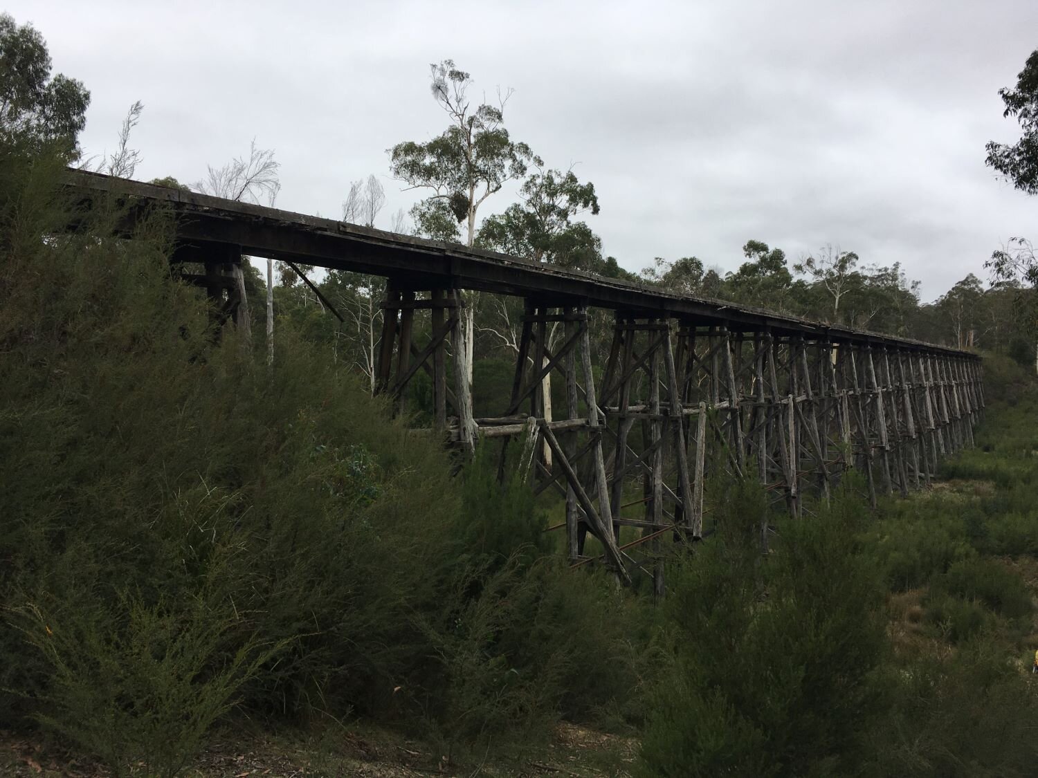
Make your way to the Mitchell River walking trail and ride along it until you reach the East Gippsland Rail Trail trailhead, on the east side of the Mitchell River opposite Howitt Park (near McEacharn st). This Rail Trail takes you right to Orbost and passes through a mix of farmland and native forests. There are opportunities for coffee, pie, beer and chips along the way. Full trail notes and more information on the trail can be found at: https://www.eastgippslandrailtrail.com.au.
Highlights include passing underneath the old wooden trestle rail bridges, the Bullant Brewery at Bruthen, coffee and treats from the Nowa Nowa General Store, the gem stone and tree root gallery at Mingling Waters cafe and Sailor’s Grave Brewery in Orbost.
Day Two - Bonang Highway -
Start: Orbost End: Goongerah
Distance: 68km Elevation: 1010m
Terrain: Mainly paved, narrow and tree lined with some patches of well packed gravel.
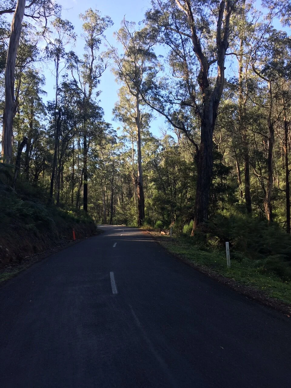
From Orbost town, take the Bonang Highway (C612) north towards Bonang/Delegate. Gradually climbing almost all day, the road passes through mixed temperate rainforest and tall, ancient wet eucalyptus forest. After about 50kms, the road drops towards Goongerah, by the Brodribb River, which is on the edge of the Errinundra NP. There is a free campsite at Goongerah that has basic amenities.
Note: The road is quite narrow, and the log trucks are huge and quite loud, so you can hear them coming. It is advisable to move off the road or stop to let them pass - though once one sees you, they’ll radio to each other and should ‘know you’re out there’.
Day Three - Deddick River Road -
Start: Goongerah End: McKillops Bridge
Distance: 76km Elevation: 985m
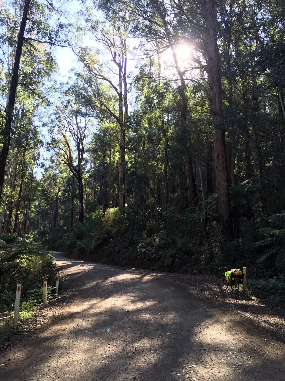
Terrain: Narrow, gravel road that is only open in dry weather, heavily corrugated.
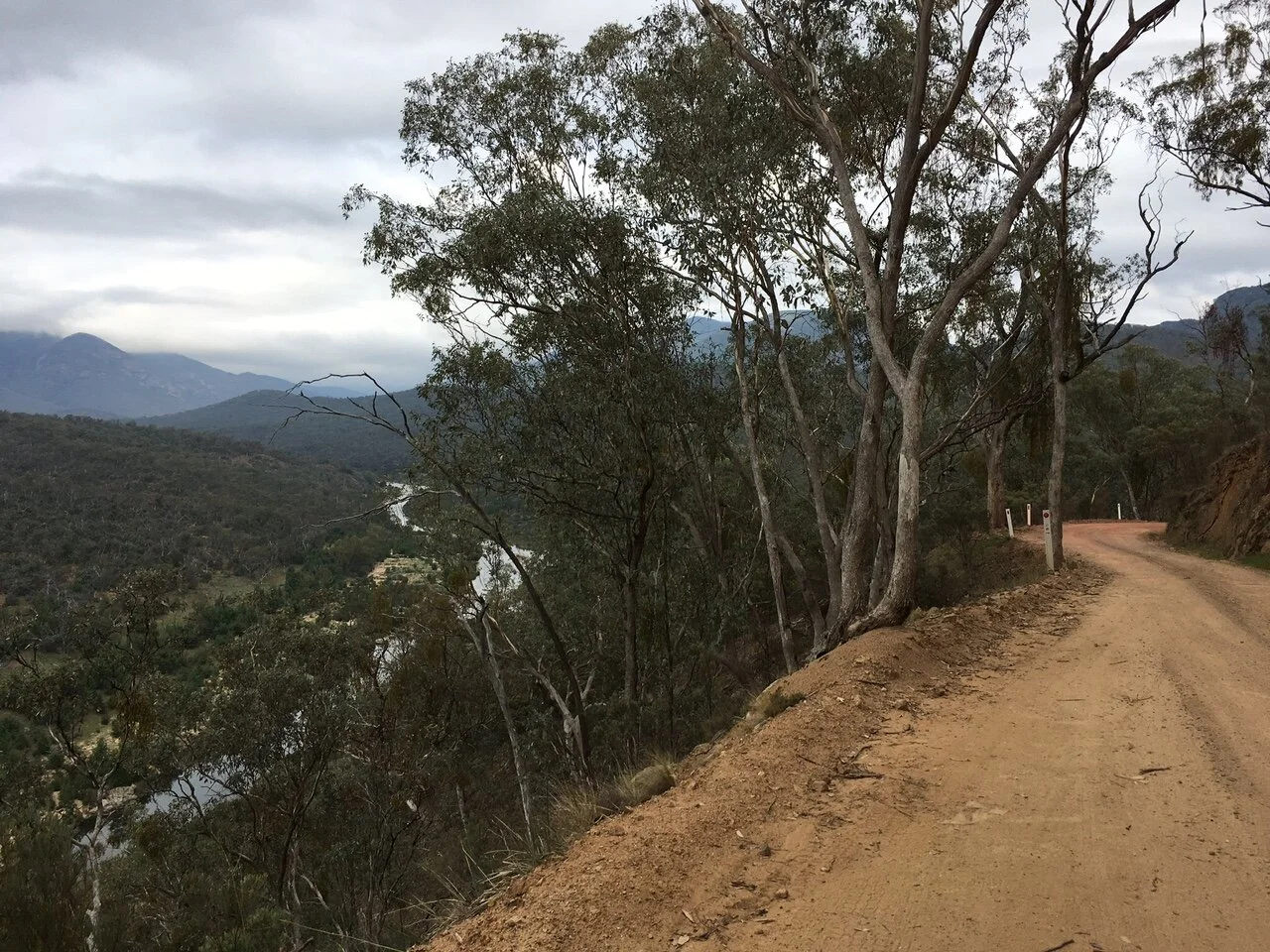
The most diverse day of the ride. The first 20km of the ride continues climbing through the ancient forest (passing some real giants!) before opening up briefly into semi-cleared farmland and blissfully sealed road. It is here that you leave the Bonang Highway (C612) and turn left onto the Deddick River road (C611), where a gentle descent takes you to McKillops Bridge via the tiny settlement of Tubbut (the public toilets have soap!). You’ve left the temperate rainforest behind, and are now amongst dry scrubby bush, rocky outcrops and earth that is growing pinker, with views of the Deddick River and surrounding hills.
There are a few opportunities for camping along the Snowy River. Firstly at the picnic ground at McKillops Bridge, then over the bridge at the official campsite. More information on the Snowy River National Park, including additional camping options can be found at https://www.parks.vic.gov.au/places-to-see/parks/snowy-river-national-park.
Note: The corrugations on this road were so severe I lost a couple of screws and my pannier was ‘hanging off’. Recommend tightening all screws.

If you reckon it is, you can make a donation below. It’s quick and easy. All we ask is $5 a ride. This will allow us to stay online and make more ride guides just like this one. Thanks!
Note: the software I use to process donations insists on collecting email and postal addresses, and I can’t turn that off! I’m not interested in your personal information, so if you would rather keep that to yourself, just enter fake details.
Day Four - McKillops Road -
Start: McKillops Bridge End: Buchan
Distance: 82.7 km Elevation: 1727m
Terrain: Narrow, gravel road that is only open in dry weather, heavily corrugated.
Depending on where you camped, you’ll likely start the day crossing high above the Snowy River on McKillops Bridge. And from here, the fun starts. Over the next 15kms, you’ll climb around 800m, with some gradients of around 16-18%. Cut into the side of the ridgeline, the road starts by roughly following the Snowy before continuing west through the hills. You’re rewarded for the climbs by sweeping views of the river below, hills and mountains as far as you can see, the sounds of the forest and the elation-inducing isolation - it’s worth every drop of sweat.
Once you’ve reached the highest point (around 920m), you’re out of the National Park and back in open farmland (looking back you can see the broody hills you’ve come from). You’ll eventually get to an intersection with McKillops road meets the (C608) - Jindabyne one way, Buchan the other.
Turn left towards Buchan and enjoy the undulating descent into the Buchan valley (dropping 1280m over 55km). Free camping is available under the bridge, at Balley Hooley (confluence of Buchan and Snowy rivers, approx. 18 km additional riding), paid camping is available at the Parks Victoria Buchan Caves Reserve (hot showers to boot!).
Note: After two days on heavily corrugated gravel roads/tracks, I was very relieved to ride on a sealed road. From Gelantipy, Tulloch Ard road also takes you to Buchan.
Day Five - The Way Back -
Start: Buchan End: Bairnsdale
Distance: 87km Elevation: 750m
Terrain: mostly sealed road, gravel road and rail trail (as above)
Continue following the C608 from Buchan south towards Nowa Nowa/Bruthen. After an initial steep climb, the road undulates and passess intermittently through more open farmland and forest. Turn left off onto the Nowa Nowa-Buchan road and follow to Nowa Nowa, before rejoining the rail-trail (mapped).
Once back on the rail trail, it’s the home stretch and reverse of the first half of day one.
When I did this in 2019, I rode along the C608 until it ended at the C620, which links Bruthen with Nowa Nowa. From here, there are a few options to get to Bairnsdale:
continue to Bruthen along the C620** and rejoin the rail trail (NOT recommended)
head along C620 towards Nowa Nowa and rejoin the rail trail there, option to turn left onto Gorge Road that takes you through Lake Tyers State Park
**Not advised as it is very hilly, exposed and often quite busy, as it is used by locals and tourists to bypass Lakes Entrance.
OTHER RIDES LIKE THIS ONE


Disclaimer: should you choose to cycle this route, you do so at your own risk. Although all reasonable efforts have been made to ensure its accuracy at the time of writing, Adventure Cycling Victoria cannot guarantee that the information herein is 100% correct. The information published is meant as a guide only, and should be combined with your own due diligence and planning. Adventure Cycling Victoria and its contributors are in no way liable for personal injury, damage to personal property, or any other such situation that might happen to individuals following this route.


Where: Grampians/Gariwerd—Western Victoria
Length: 155km
Difficulty: moderate/hard
Terrain: mixture of hills and flat
Surface: sealed, some chunky gravel and some smooth gravel