
Gals Gone Gramps
/
This is a guest contribution by Stephanie Quinceton. A big thanks to Stephanie for sharing this ride. ACV welcomes submissions for new routes. If you want to contribute a route, get in touch via the contact page.
Where: Grampians/Gariwerd—Western Victoria
Length: 155km
Difficulty: moderate/hard
Terrain: mixture of hills and flat
Surface: sealed, some chunky gravel and some smooth gravel


THE RIDE
I first did a variation of this ride in January 2020 with one other friend. We’d been keen to do a ride in Victoria and had our eye on the Grand Ridge – but only the Ararat line was running trains that weekend – so it meant a trip to the Gramps! Based loosely on the Dirty Rat/Dirty Rat Recon, we plotted this route as a less intense, more accessible ride to those starting out cycle touring or building their experience, while still being able to safely experience the majestic Grampians/Gariwerd National Park by bike away from motorists. Ironing out a few route issues and accompanied by a semi-local the next time around (November 2021), we tested the route again and found it worked okay.
Note: I completed this on a Kona Sutra 2018, with Schwalbe Marathon 40cm tyres – which was fine, if a little uncomfortable at times. In the drier months, the roads can become loosely packed and wider tyres might make for a more comfortable ride.
Day 1 - Ararat to Jimmy Creek Campground
Distance: 54km
Elevation: 528m
Terrain: some sealed asphalt, mostly well packed gravel.
Camping: Jimmy Creek – drop-dunnies and water in tanks, with ephemeral Jimmy creek potentially available for a splash
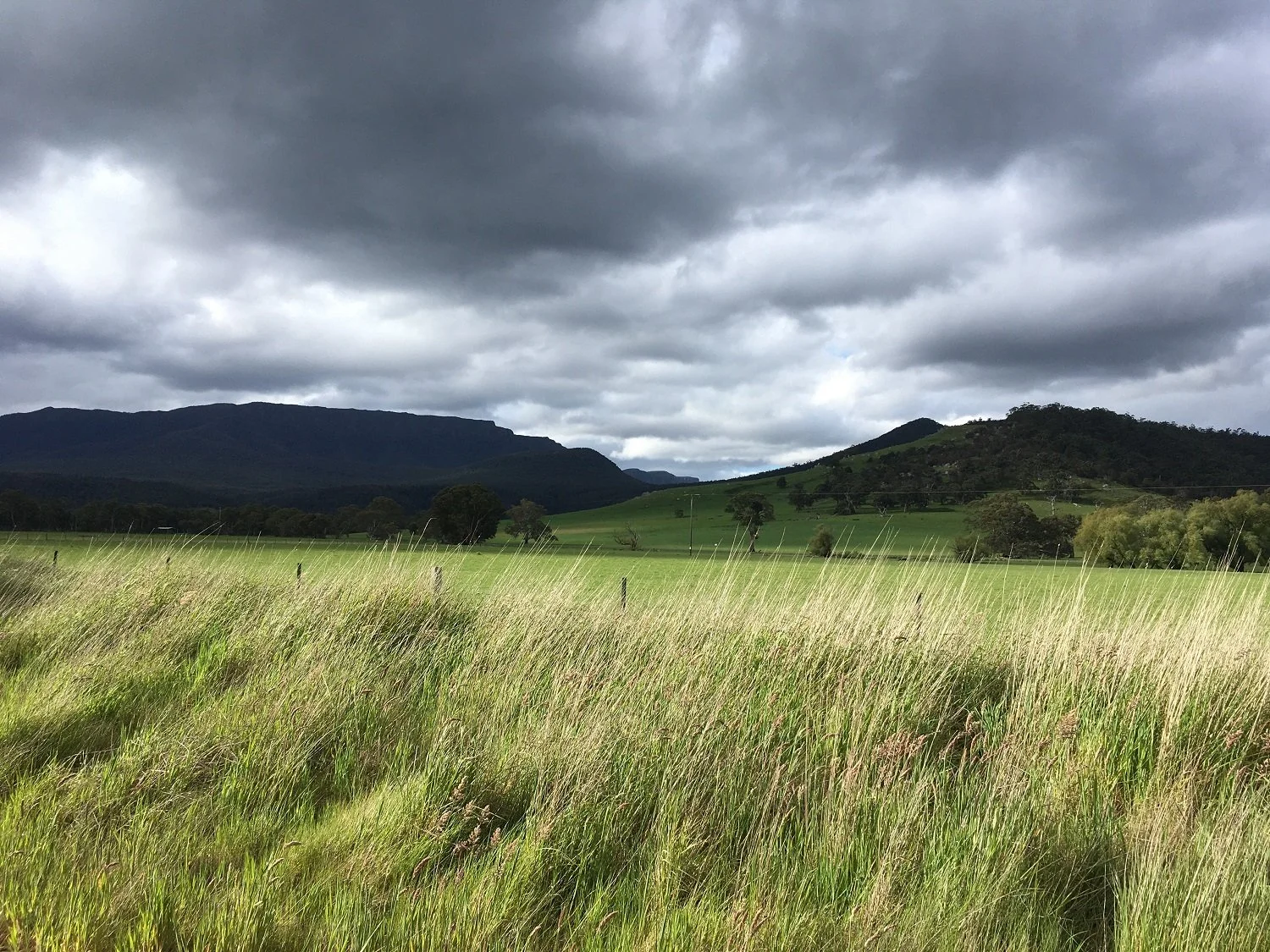
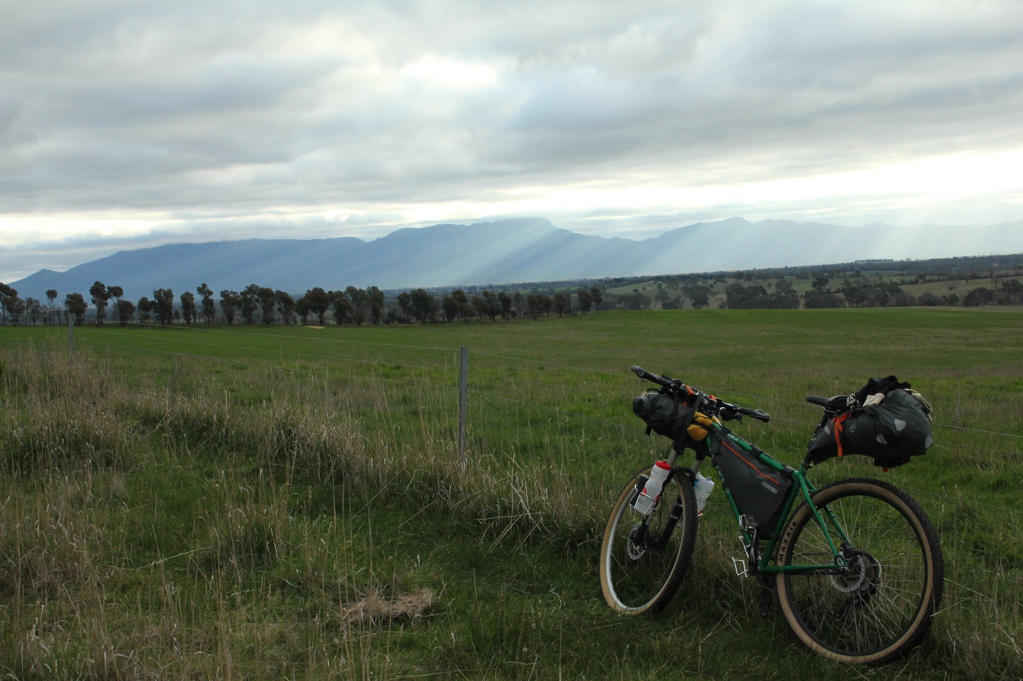
Mix of rolling hills amongst Western District farmland, along quiet farm roads lined by old river redgums, looking towards the blue silhouette of the Gramps, growing clearer (and closer) every kilometre.
From Ararat, head out along the main road towards Halls Gap. Just on the other side of Cathcart (about 6kms in), turn right onto Better Route (Rte) Road. Follow this road until it ends at the Great Western-Moyston Road. Turn left towards Moyston and enjoy the sealed road for a hot minute.
Enjoy a cold Kombucha, hot pie, ice-cream/treats of choice at Moyston General Store. From there, keep heading towards the Grampians along the Moyston-Dunkeld Road. After about 20kms turn right onto Mafeking Road. It’s along this road that there is one steep, short climb. After about 7kms you’ll find another sign-post pointing towards Jimmy Creek along a road slightly left of the Mafeking road. Follow it and it’ll lead you straight to the campsite, crossing a few roads on the way (including the C216).
Nestled between the Mt William and the Serra Ranges, Jimmy Creek is a pocket of lush heaven with soft green grasses and bracken (in November – quite a bit drier later in Summer/Autumn). Sunrises are particularly spectacular there as you can climb up the Serra Range (along the Teddy Bear Loop walk) and watch the sunrise over Mt William Range.
Day 2: Jimmy Creek to Boreang or (VARIATION) Smiths Mill
Distance: 35km (additional 15km to Smiths’ Mill)
Elevation: 316m (additional 332m to Smiths’ Mill)
Terrain: mainly gravel roads, some well packed, depending on time of year. Sandy around Moora Moora reservoir.
Camping: Boreang, Smiths’ Mill – drop dunnies and water tanks etc.
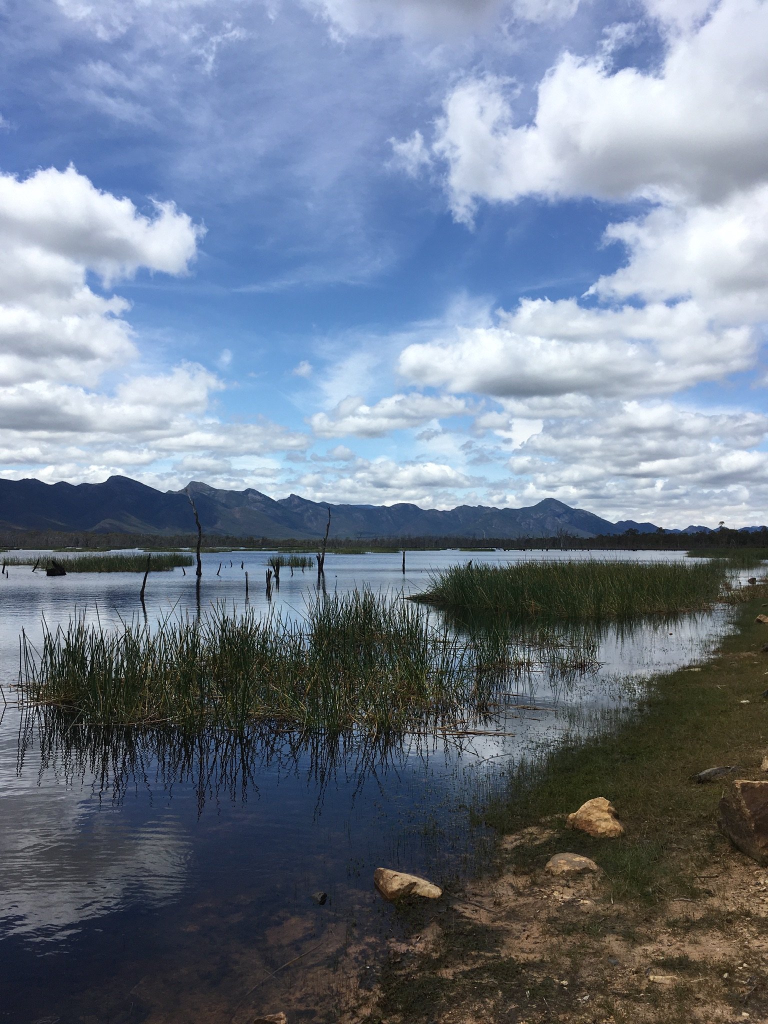
Over the bridge towards the Teddy Bear Loop – start the day with a bit of single track on the walking path before hitting an old grassy management track (about 1km). Turn right onto this track and follow this for about 3kms until you get to Serra Road. Turn left onto Serra Road and continue climbing up to a gap in the Serra Range before descending into the Victoria Valley. Follow Serra Road until it ends at Glenelg River Road, turn right and then head on your way up the guts of the Gramps with the Victoria Range to your left and the Serra Range to your right. Watch out for Old Stumpy (stumpy tailed lizards). About 8km from when you turn onto the Glenelg River Road, you’ll hit the Moora Moora Reservoir. Take the water point signs towards the reservoir (note – some of the tracks might be a bit swampy, tread carefully), stop for lunch/snack – soak up the view and have a (skinny) dip. From Moora Moora Reservoir – ride north along the path from the weir car park and it will take you back up to Glenelg River Road. If you have time, stop off and do the short walk at Paddy’s Castle, it’s worth it for the views and fun to try and orient yourselves within the park!
CAMPING OPTIONS:
Camp at the Res (shorter day means longer day tomorrow)
Camp at Boreang Campground - it’s only about another 12kms along the Glenelg River Road.
Camp at Smith’s Mill – continue to Boreang, then turn left at Boreang along Phillip Island Track, and then right onto Rose Creek road. Once you hit Mt Victory Road, turn left towards McKenzie falls and then follow the signs/roads to Smiths Mill Campsite. There are opportunities for a bath at the rivers near Smiths Mill (watch out for emus!).

If you reckon it is, you can make a donation below. It’s quick and easy. All we ask is $5 a ride. This will allow us to stay online and make more ride guides just like this one. Thanks!
Note: the software I use to process donations insists on collecting email and postal addresses, and I can’t turn that off! I’m not interested in your personal information, so if you would rather keep that to yourself, just enter fake details.
Day 3 – Boreang Campground/Smiths’ Mill to Ararat
Distance: 68.3km (additional 7kms from Smiths’ Mill)
Elevation: 1072m (extra 10m if from Smiths’ Mill)
A bit of an undulating day – with lots of climbs and false summits. Continue following the Glenelg River Road east towards the Mount Difficult Range. Leave the Glenelg River Road just before it ends at Mt Victory Road by veering right (heading south) to become Stony Creek Road. If you’ve come from Smiths’ Mill, go along Mt Victory road until Glenelg River Road and then turn almost immediately onto Stony Creek Road.
Keep following Stony Creek Road, where you loop back around towards a saddle before flying down to meet Silverband road at the Mt Rosea car park. Continue the descent along Silverband road down to the C216/Lake Bellfield. Turn right onto the main road (C216) and head along it for about 3kms - until the Borough Huts Campground. Opportunity for a quick pit stop and water refill at the loos and water tank before the afternoon’s climbs.
Pretty much directly opposite Borough Huts is Redman’s Road (turn left as you are heading south). Redman Road will take you up, up and over Mt William Range and out the other side. There are a few spots where water passes under the road – good for dunking your shirt on a hot day! Once you hit the top though, it is a steep descent down tricky-ish terrain. Continue along Redman Road all the way to Moyston (don’t forget to look over your shoulder every now and then!). Then from Moyston it’s a repeat of the first 20kms from day one. Alternatively, you can follow the main road back to Ararat but that would be hectic with lots of traffic.
Enjoy the sleep on the V-Line.
FURTHER NOTES/LINKS
Vic emergency website or Vic emergency app—be aware of extreme heat and fire danger in warmer months
Vicmap Grampians Special—probably the best map of the whole Grampians area.
OTHER RIDES LIKE THIS ONE


Disclaimer: should you choose to cycle this route, you do so at your own risk. Although all reasonable efforts have been made to ensure its accuracy at the time of writing, Adventure Cycling Victoria cannot guarantee that the information herein is 100% correct. The information published is meant as a guide only, and should be combined with your own due diligence and planning. Adventure Cycling Victoria and its contributors are in no way liable for personal injury, damage to personal property, or any other such situation that might happen to individuals following this route.


Where: Grampians/Gariwerd—Western Victoria
Length: 155km
Difficulty: moderate/hard
Terrain: mixture of hills and flat
Surface: sealed, some chunky gravel and some smooth gravel