
The Great Central Gravel Grind
/Where: Yarra Valley, Yarra Ranges, Lake Eildon, Goulburn Valley, Ruffy Highlands—Central Victoria
Length: 316km
Difficulty: moderate/hard
Terrain: some flat riding, some quite hilly riding. Most of the climbing is not terribly steep.
Surface: mostly well made gravel, some chunky gravel, some sealed roads. Can be done on a standard gravel bike.
What: pretty rural areas, temperate rainforest, rail trail riding, quiet back roads, lakeside riding, eucalyptus woodland.
THE RIDE
If a visitor to Melbourne had a few spare days and wanted to experience the best gravel riding in the region, I would tell them to do this ride. This is one of those dream rides, put together from years of experience, that threads together a number of my favorite roads and trails and travels through a string of iconic places. It’s a greatest hits playlist of gravel riding in central Victoria.
As a result, it features roads and trails that have appeared on this site before, but this ride puts it all together into an ultimate experience. There’s a bit of new stuff too though, just to keep things spicy. This ride guide is in more of a narrative form, and includes some little tidbits and commentary that might be of interest to an international visitor. I did this simply because I just started writing it that way and it was fun so I rolled with it. Enjoy.
The first 40km of the Great Central Gravel Grind is on the Lilydale to Warburton Rail Trail, one of Victoria’s premier rail trails. It takes you through the Yarra Valley, famous for its produce, wines and scenic countryside.

The lilydale to warburton rail trail
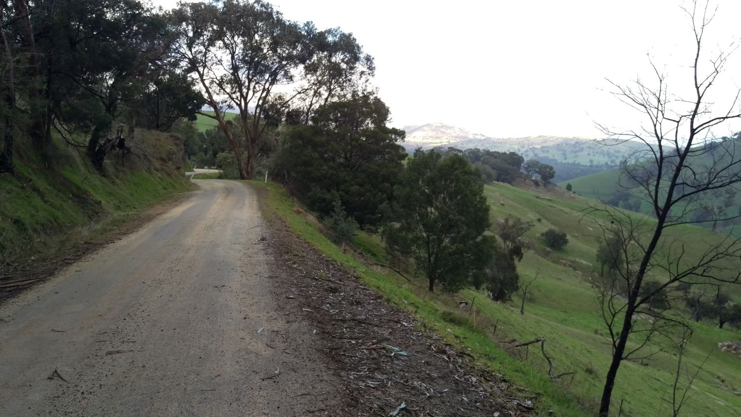
From Warburton you’ll join Woods Point Road for a long and steady climb into the Yarra Ranges. Woods Point Road is a winding and narrow sealed road that generally carries little traffic but can get more busy on a sunny weekend day. I’ve ridden it a few times and always felt quite safe but it’s worth exercising some caution here.
At the top of the ranges you’ll come to the former mining settlement of Cambarville. Cambarville was big enough to contain a schoolhouse, among other facilities, before being abandoned in the 1960’s. Today it is an interesting place to poke around, ponder the impermanence of things and learn some of the history from information boards.

There is a walking trail starting at Cambarville, and only a short distance down this trail is some of the most beautiful old-growth temperate rainforest in the state, including ‘The Big Tree,’ a eucalyptus regnans or ‘mountain ash’ that’s more than 300 years old and around 90 metres tall. This species is the world’s tallest flowering plant, and also among the tallest trees in the world, competing with even the famous coastal redwoods of California.
In the nineteenth century, one individual specimen was reliably measured at 114 metres (after being felled), one metre short of the current known tallest tree in the world, a California redwood known as Hyperion. There is also a claim of a 132 metre specimen from the same time period, though the evidence for it is less reliable.
This is also prime habitat to encounter Lyrebirds, an elusive ground-dwelling bird known for its astonishing ability to mimic other bird calls as well as anthropogenic sounds such as chainsaws and swinging gates.
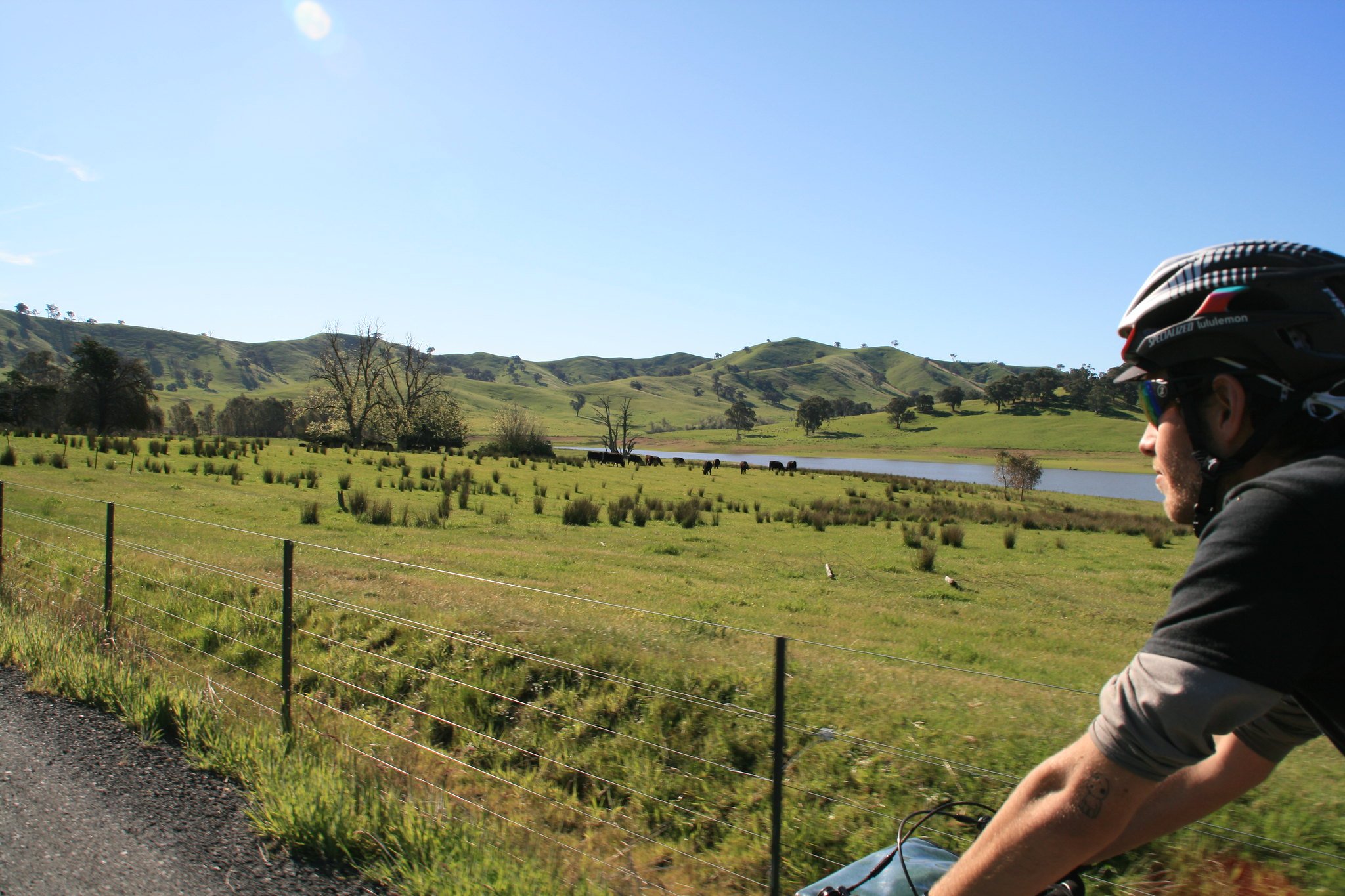
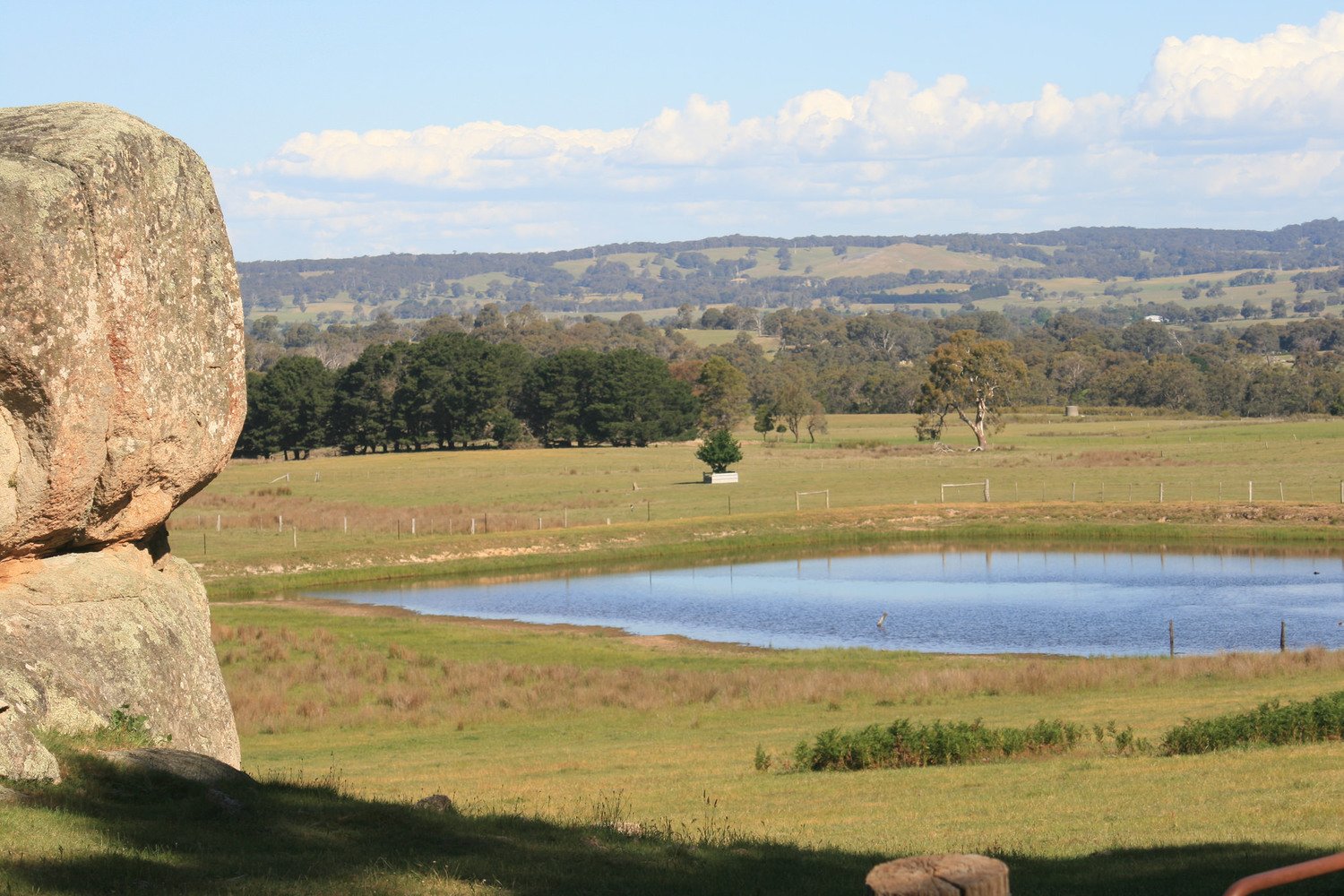
From Cambarville, you’ll join Cambarville Road for a gravel ride through more temperate rainforest with beeches, ferns and many tall mountain ash trees. Cambarville Road is a gem because it’s not particularly rough or steep, yet it’s at high altitude (for Australia) and takes you deep into a beautiful forest. A very long and gradual descent on Snobs Creek road brings you to Lake Eildon, a large man-made lake popular with campers and boaters. Skyline Drive climbs up to the ridge above the lake, and is steep at times, but gives some panoramic views of the lake and beyond. The road drops back down to water level for a delightful lakeside ride to Bonnie Doon.
skyline drive and lake eildon
skyline drive
cambarville road
Bonnie Doon holds a sort of tongue-in-cheek cultural significance as the preferred holiday spot of the Kerrigan family in the beloved nineties movie The Castle. It is impossible to get a complete picture of Australia’s social mythology without watching this movie. How’s the serenity?
It is here that you’ll join the Great Victorian Rail Trail, the longest in the state at 134km. You won’t ride all of it, but you’ll see some of the most scenic parts on your ride to Yarck. Yarck has some good food options for a lunch stop, and from here you’ll embark on another steady climb on Terrip Road up to the Ruffy Highlands.
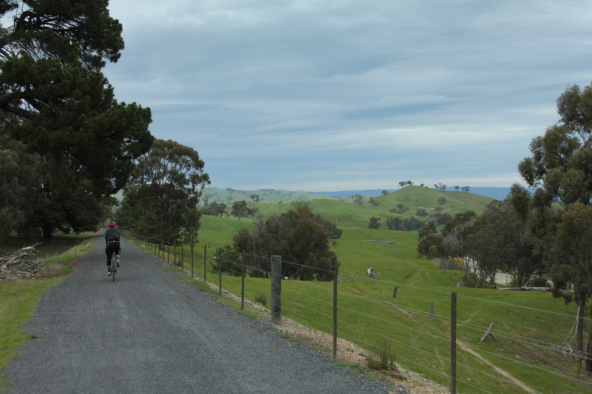
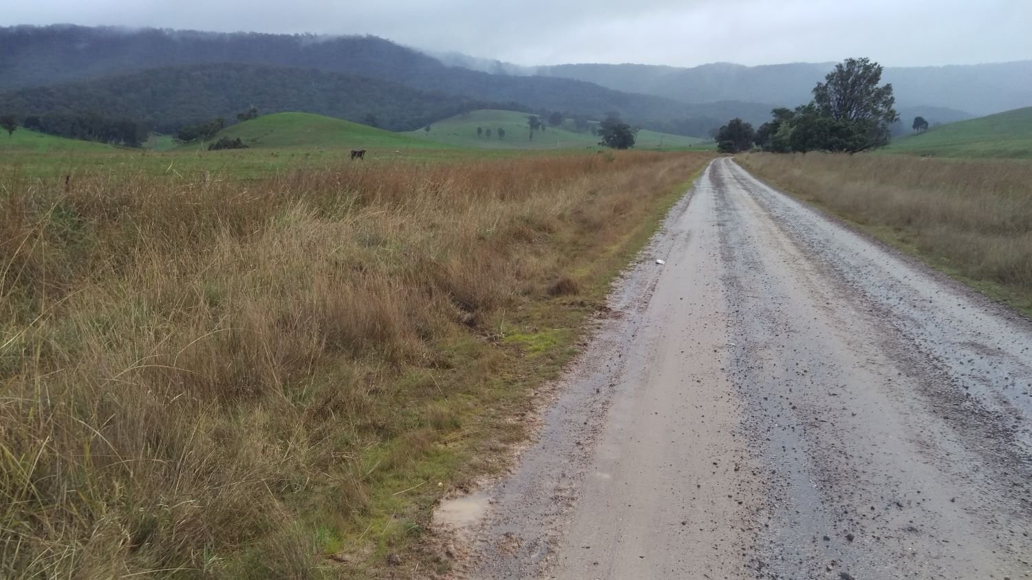
The Ruffy Highlands, part of the Strathbogie Ranges, is a hidden gem. Criss-crossed by many quiet back roads, and with plenty of bucolic vistas and native woodlands, it serves up some very enjoyable gravel cycling. The descent back to the rail trail on Molesworth-Dropmore road is a highlight, with many thrilling corners and great views.
Molesworth-Dropmore Road comes out onto the Goulburn Valley Highway, and you’ll have to ride about a kilometre along the highway before you can rejoin the Great Victorian Rail Trail. There is a shoulder to ride on, however this road carries a lot of traffic travelling at high speed, so please take extra care on this section.
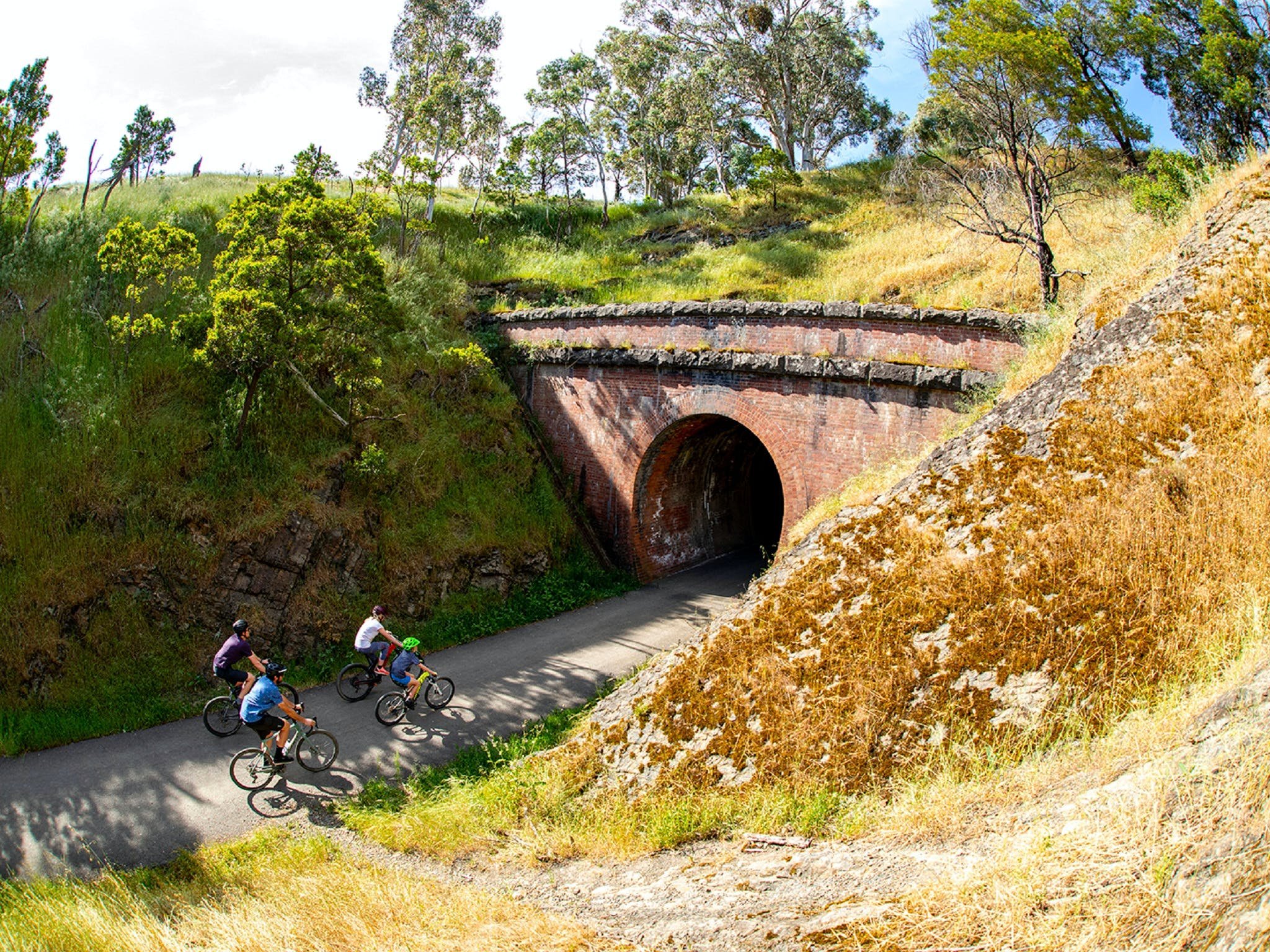
The Great Victorian Rail Trail will take you all the way to Tallarook and the end. This section features the Cheviot Tunnel, a 200-metre long former rail tunnel that’s a lot of fun to ride through.

If you reckon it is, you can make a donation by clicking the button above. It’s quick and easy. All we ask is $5 a ride. This will allow us to stay online and make more ride guides just like this one. Thanks!
Note: the software I use to process donations insists on collecting email and postal addresses, and I can’t turn that off! I’m not interested in your personal information, so if you would rather keep that to yourself, just enter fake details.
WHEN
Can be done at any time but be aware of the following: during winter the Yarra Ranges are very cold, wet and often get snow. During the summer, temperatures can be extremely hot anywhere in the state, and fire danger can also be extreme. Inform yourself of fire warnings and total fire ban days from the Vic Emergency website or the Vic Emergency app.
GETTING THERE
The start of the ride, Lilydale, can be accessed via the Melbourne Metro train network, with trains leaving every hour or so. The end of the ride, Tallarook, can be accessed by the regional V line train network, with trains leaving every hour or so. Check for service disruptions before you go. Read this for more info about using trains with your bike in Victoria.
MAPS
Rooftop's Marysville - Lake Eildon (cover a big chunk of the middle part of the ride, printed on durable plastic sheet)
OTHER RIDES LIKE THIS ONE


Disclaimer: should you choose to cycle this route, you do so at your own risk. Although all reasonable efforts have been made to ensure its accuracy at the time of writing, Adventure Cycling Victoria cannot guarantee that the information herein is 100% correct. The information published is meant as a guide only, and should be combined with your own due diligence and planning. Adventure Cycling Victoria and its contributors are in no way liable for personal injury, damage to personal property, or any other such situation that might happen to individuals following this route.


Where: Grampians/Gariwerd—Western Victoria
Length: 155km
Difficulty: moderate/hard
Terrain: mixture of hills and flat
Surface: sealed, some chunky gravel and some smooth gravel