
Mountain Ash and Hydro Power
/
Where: Yarra Ranges, central Victoria
Length: 101km
Difficulty: moderate
Terrain: undulating, with one big descent and one big climb. Moderate gradients.
Surface: mostly well-groomed gravel. About 10km of rougher track. Short section of sealed road. Can be done on a gravel bike, but that 10km would be a bit rough. A mountain bike would be easier.
What: plenty of beautiful, tall mountain ash forest with many ferns. Crystal clear rivers. One of the better free camping spots around. One very long and satisfying descent. Historical areas. Victoria’s tallest tree.


THE RIDE
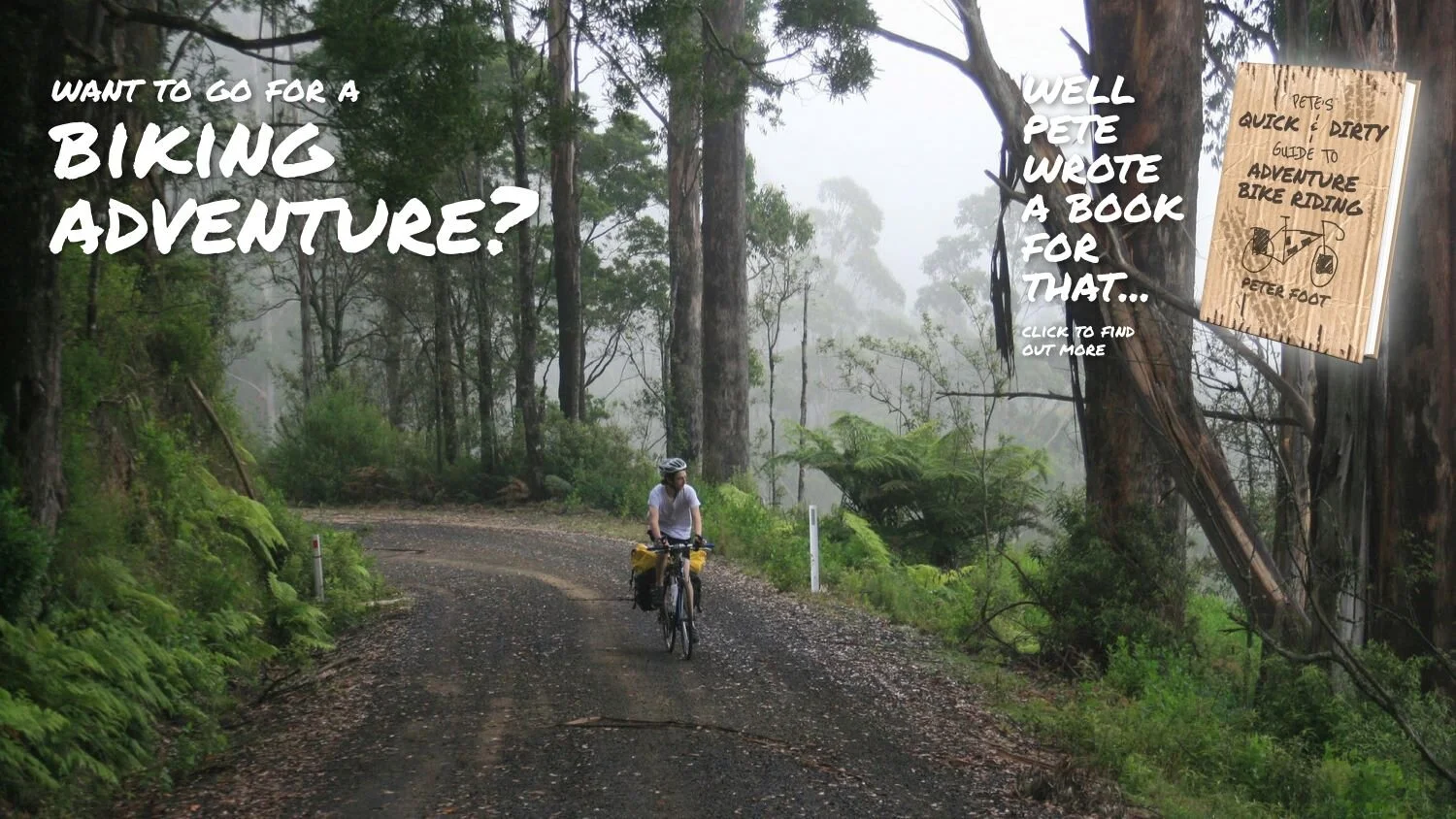
Note: this one is a little different to the other rides on ACV because the start/end point is not accessible by public transport. You will have to drive to the start, or tack it onto a longer ride such as Off Cambar. But I felt compelled to publish it because it’s so damn enjoyable. I didn’t have my proper camera with me, just my phone, so the photography for this one doesn’t really do it justice.
The start point of this ride is the former Cambarville settlement, where there is a small carpark. The old town is now a historical attraction, and Victoria’s tallest tree is a short walk away, on a trail that leaves from here. It’s a very beautiful loop walk, I’d recommend it.
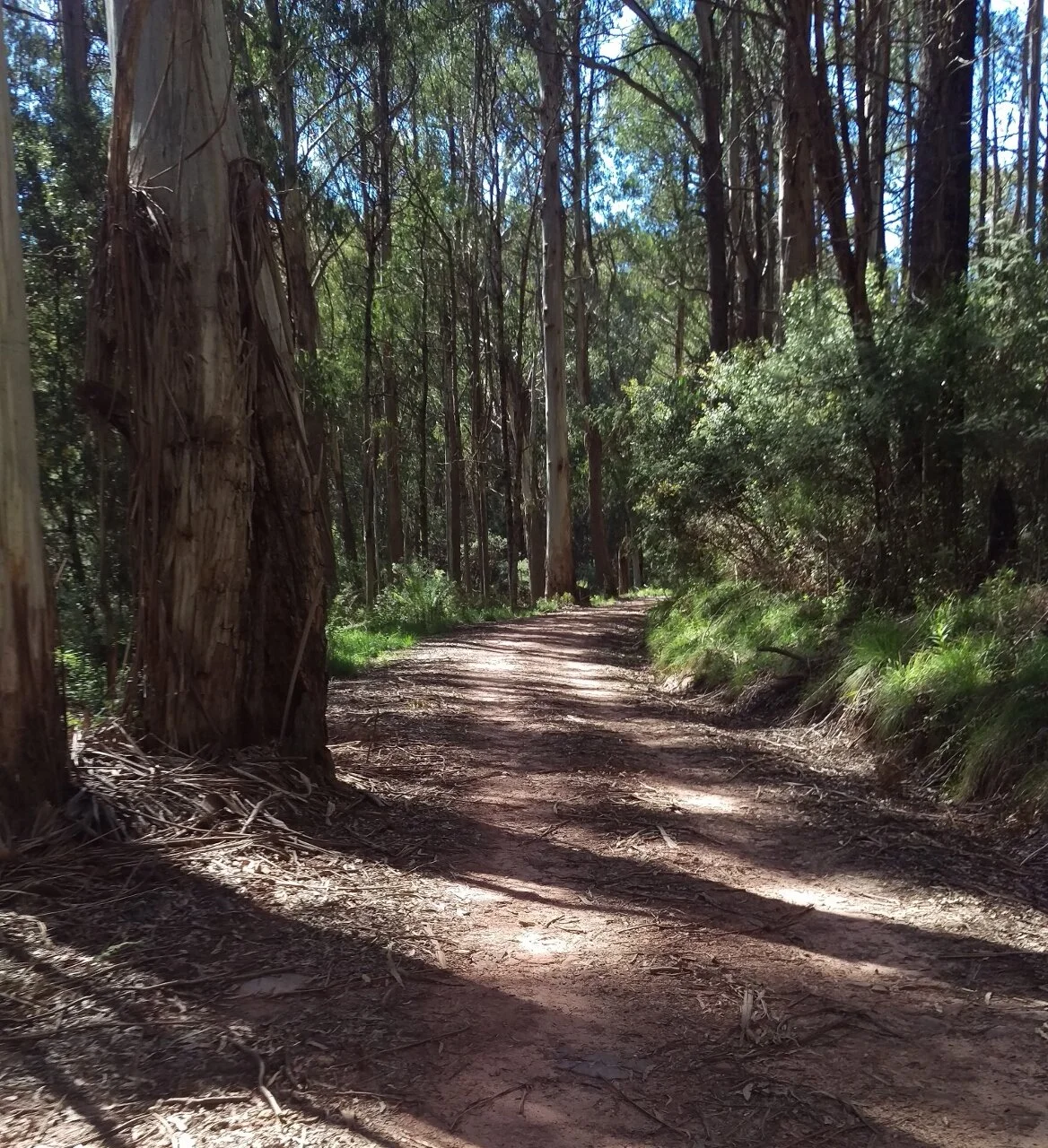
Take Cambarville Road north. The surface is pretty smooth, with a bit of climbing at a gentle gradient. There is plenty of beautiful forest to enjoy and some spectacular views over the ranges to the east. After about 20km it turns into Snobs Creek Road, and you begin a very long and fun descent to the Goulburn Valley Highway. Despite being a highway, it usually carries little traffic, though this may change in peak holiday times as people use it to get to Lake Eildon.
Turn left on the highway and ride until you reach the small town of Thornton. Thornton has a small store and pub. Turn left at Thornton onto Taggerty Thornton Road, and after a few kilometres, turn left again onto Rubicon Road. Soon after you enter the state forest, there are a number of large and very pleasant free campgrounds next to the river. These have drop toilets and water can be sourced from the river. An ACV user has reported contracting gastro from drinking the river water here, so make sure to treat it properly.
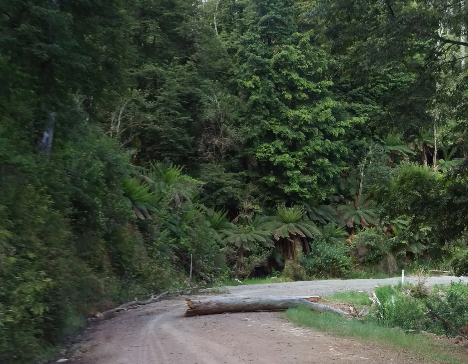
Immediately after the campgrounds the road climbs into the ranges again. At times the road closely follows the river which is cool, shady and very beautiful. There is about 10km of rougher track, which could be done on narrower tyres, say 35mm, but it would be pretty rough. Wider tyres will be more pleasant for this.
Once you rejoin Cambarville Road, enjoy a fun descent back to the carpark.

If you reckon it is, you can make a donation below. It’s quick and easy. All we ask is $5 a ride. This will allow us to stay online and make more ride guides just like this one. Thanks!
Note: the software I use to process donations insists on collecting email and postal addresses, and I can’t turn that off! I’m not interested in your personal information, so if you would rather keep that to yourself, just enter fake details.
ATTRACTIONS
Cambarville historic area—features settlement relics, ‘The Big Tree’ (Victoria’s tallest tree, 400 years old), and ‘The Big Culvert’ (a historic road bridge, still in use).
Rubicon historic area—hydro power station, old tram lines, aqueducts
ACCOMMODATION/CAMPING
Rubicon camping area—stunning riverside camping, and it’s free. Drop dunnies, river water available.
Hotel and caravan park available in Thornton
WHEN
In winter it will be very cold, wet and you may encounter snow. In summer, fire risk can be very high, and you should be aware of the latest forecasts and warnings. Find these on the Vic Emergency website, or download the app.
GETTING THERE
Drive to the Cambarville carpark. Otherwise, tack this loop onto a long ride such as Off Cambar.
MAPS
Download GPX file.
The whole ride is covered by the Rooftop’s Marysville—Lake Eildon Adventure Map. This is a detailed, waterproof map of a great area to explore. I’d recommend buying it.
OTHER RIDES LIKE THIS ONE


Disclaimer: should you choose to cycle this route, you do so at your own risk. Although all reasonable efforts have been made to ensure its accuracy at the time of writing, Adventure Cycling Victoria cannot guarantee that the information herein is 100% correct. The information published is meant as a guide only, and should be combined with your own due diligence and planning. Adventure Cycling Victoria and its contributors are in no way liable for personal injury, damage to personal property, or any other such situation that might happen to individuals following this route.


Where: Yarra Valley, Yarra Ranges, Lake Eildon, Goulburn Valley, Ruffy Highlands—Central Victoria
Length: 316km
Difficulty: moderate/hard
Terrain: some flat riding, some quite hilly riding. Most of the climbing is not terribly steep.
Surface: mostly well made gravel, some chunky gravel, some sealed roads. Can be done on a standard gravel bike.
What: pretty rural areas, temperate rainforest, rail trail riding, quiet back roads, lakeside riding, eucalyptus woodland.