
Melbourne to Canberra
/
Length: 947km
Difficulty: hard
Terrain: everything, but plenty of hills
Surface: sealed roads, gravel roads, rail trails, some rougher sections. Can be done on a 32mm tyre
What: some of the best road, gravel and rail trail riding between Melbourne and Canberra
THE RIDE
This was the route of the inaugural Climate Cycle, which happened in October 2018. It threads together some of the best roads and trails between Melbourne and Canberra to create one epic, scenic cycling route. I put it together according to the following criteria:
to be as scenic as possible (obviously)
to be as low traffic as possible. It avoids busy roads, and includes plenty of rail trails (see discussion below about Jindabyne-Berridale section).
to be doable on a standard gravel or touring bike
to provide some challenge for experienced cyclists, but not so much that a reasonably fit novice couldn’t do it. For example, there are plenty of hills, but the climbing isn’t relentless. It will take you to some out-of-the-way places, but you are never a really long way from help.
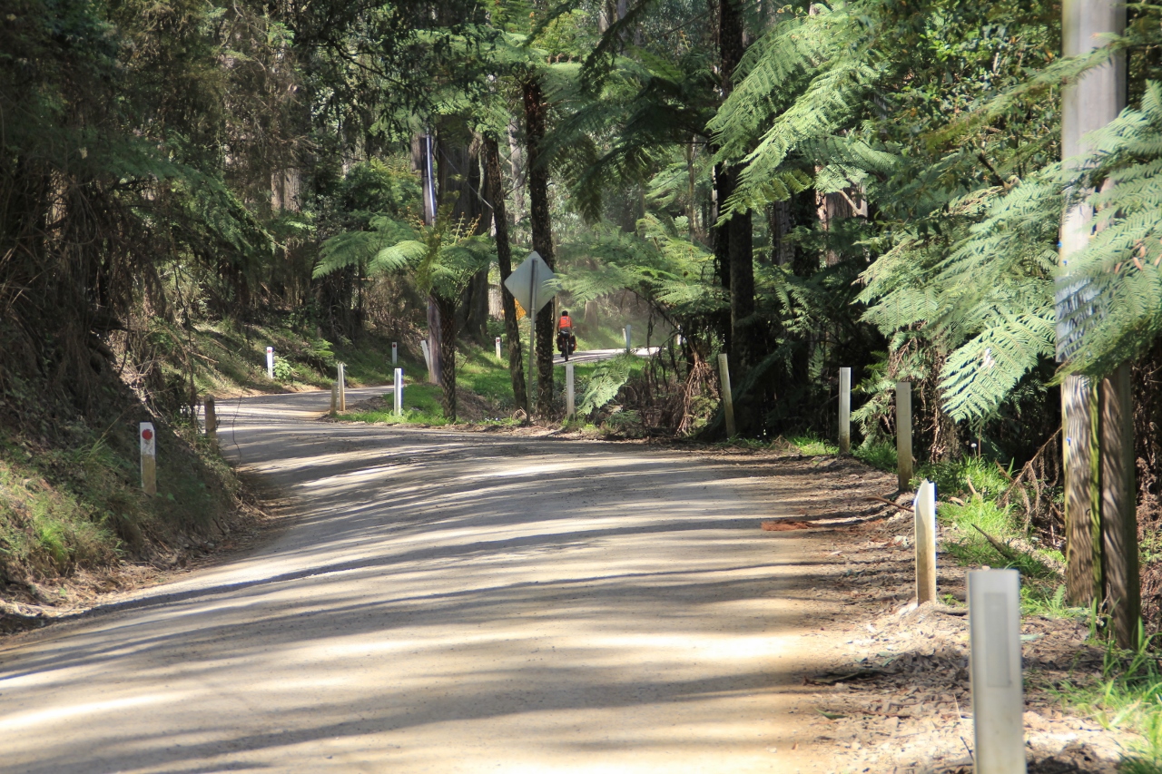
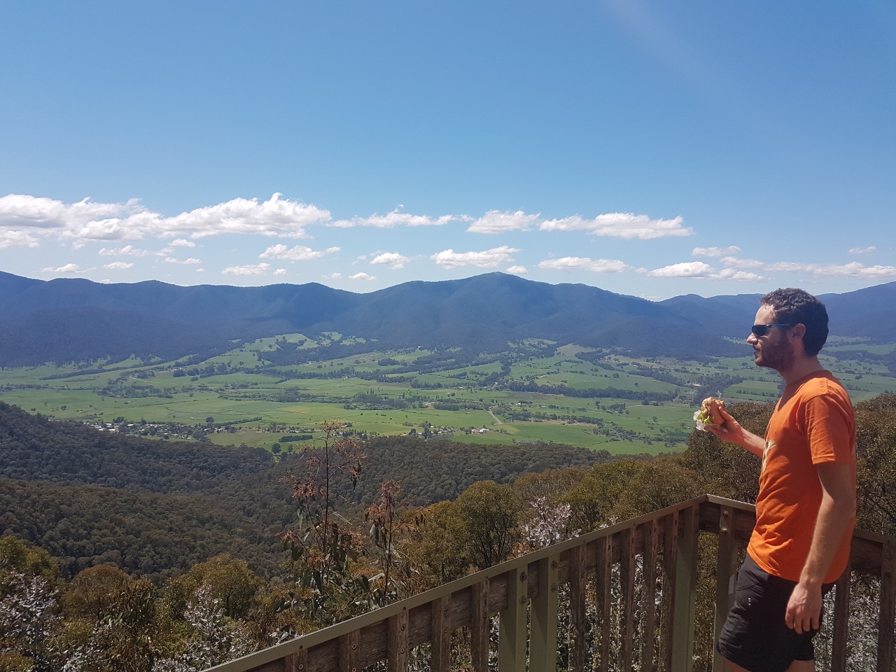
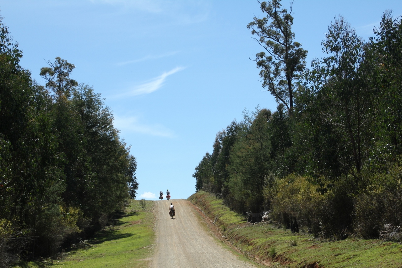
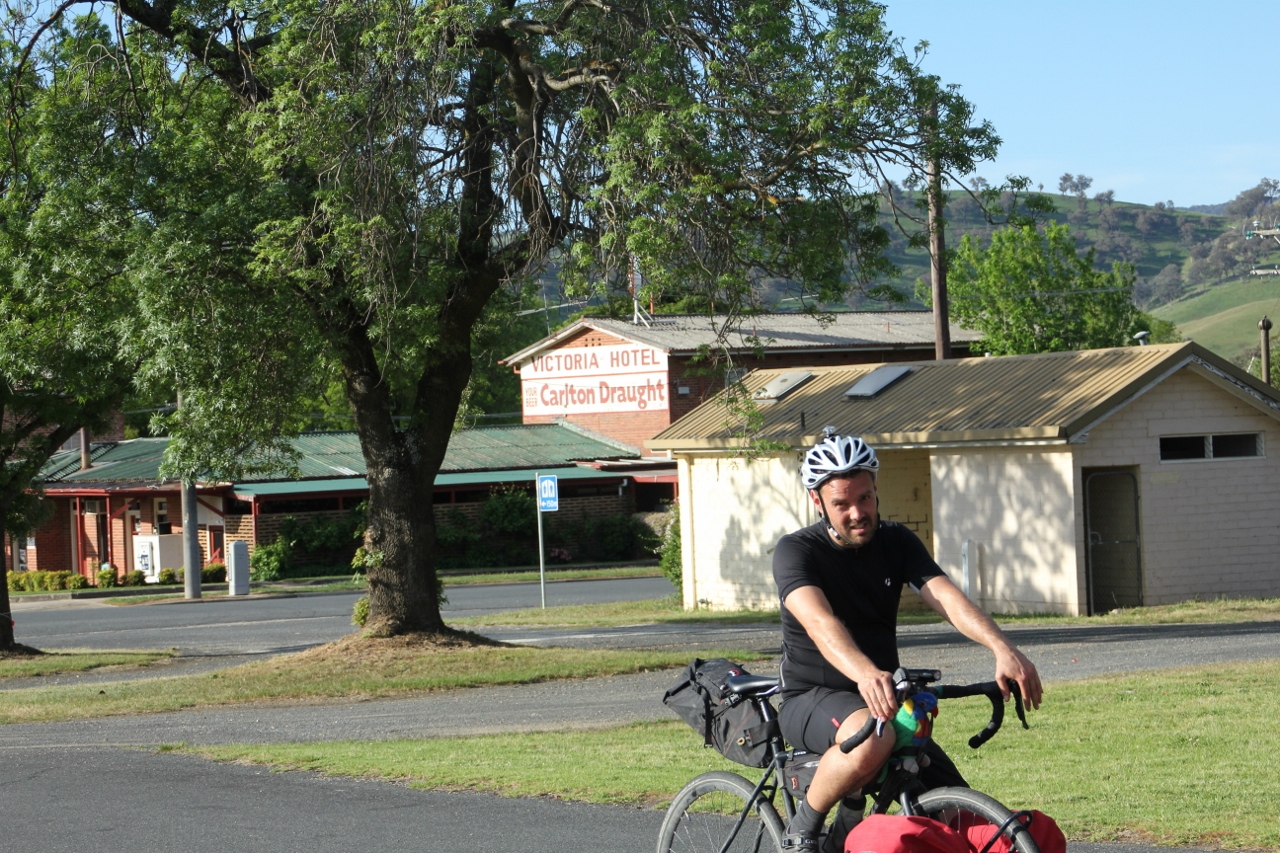
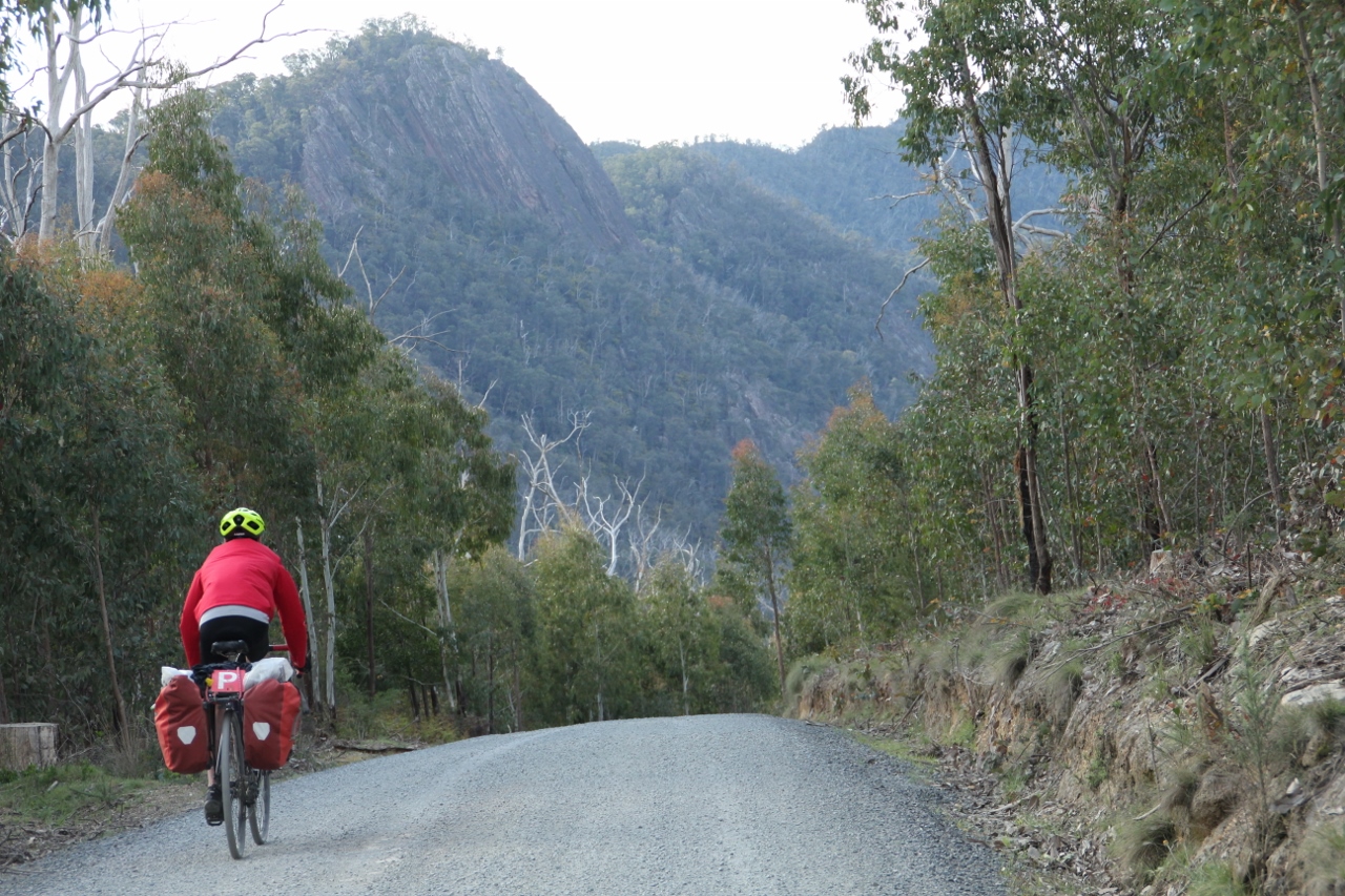
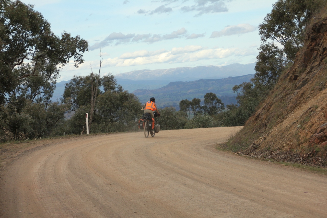
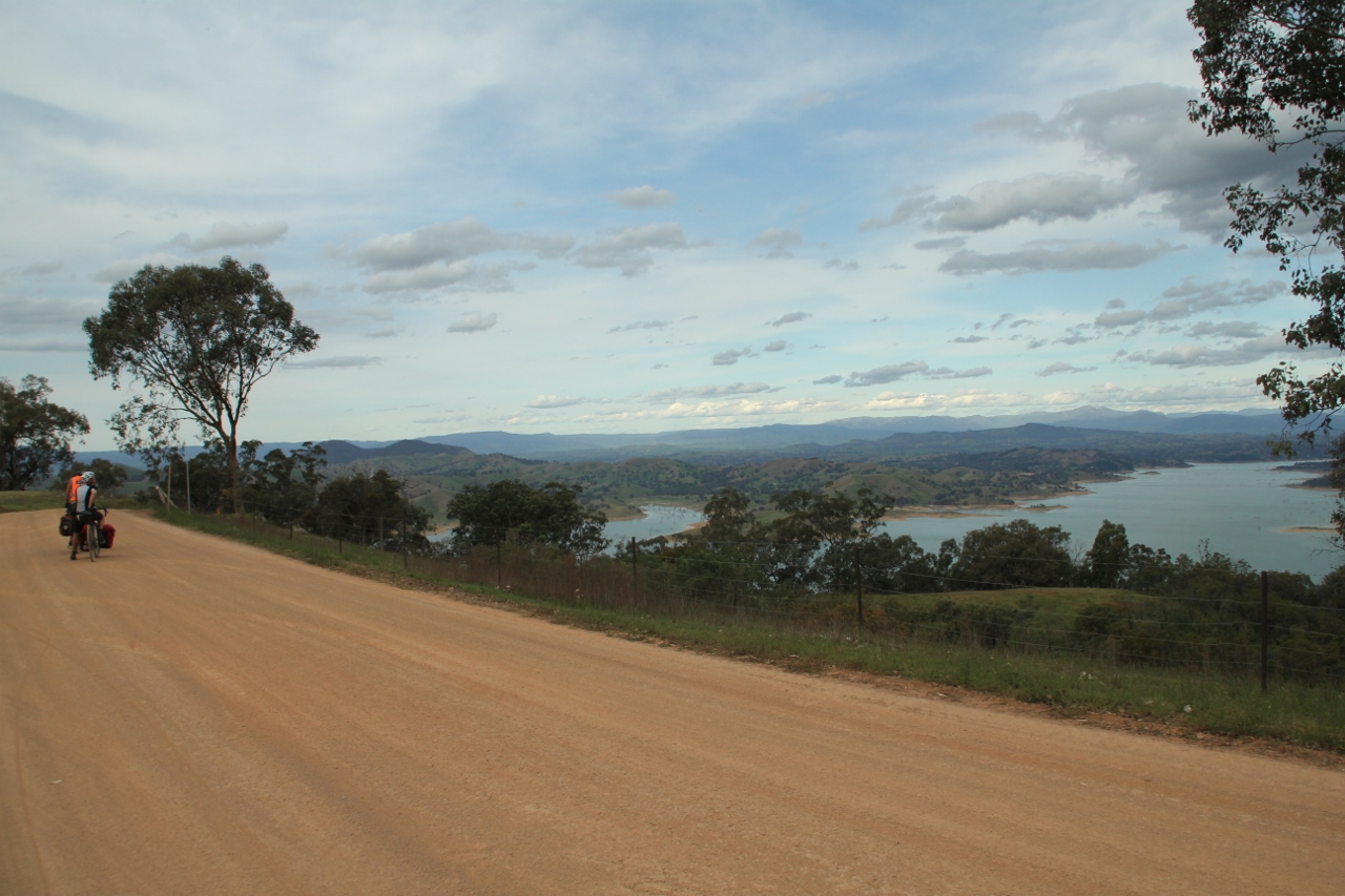
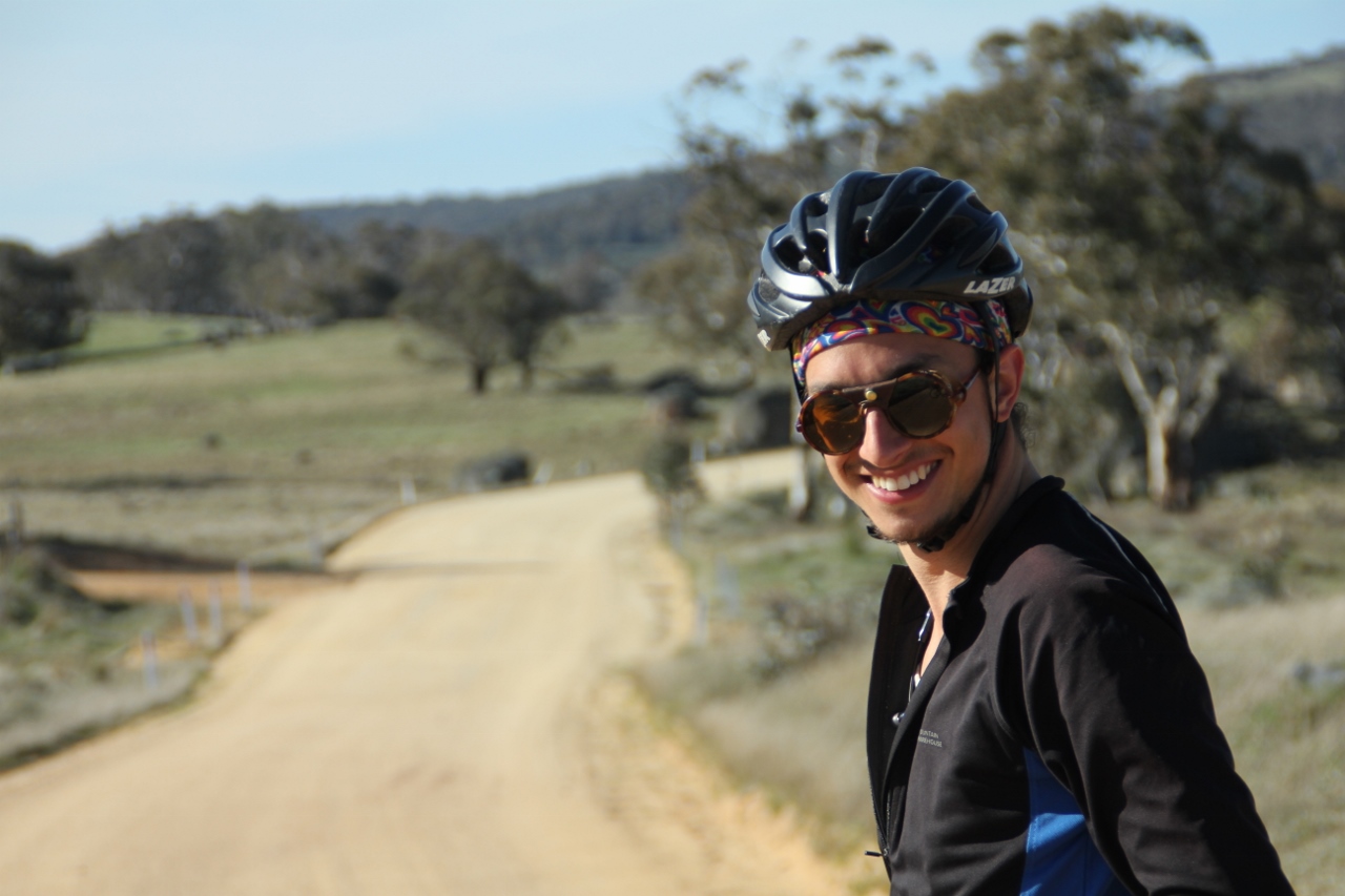
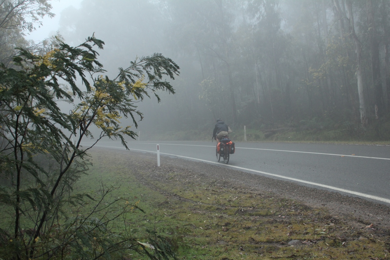
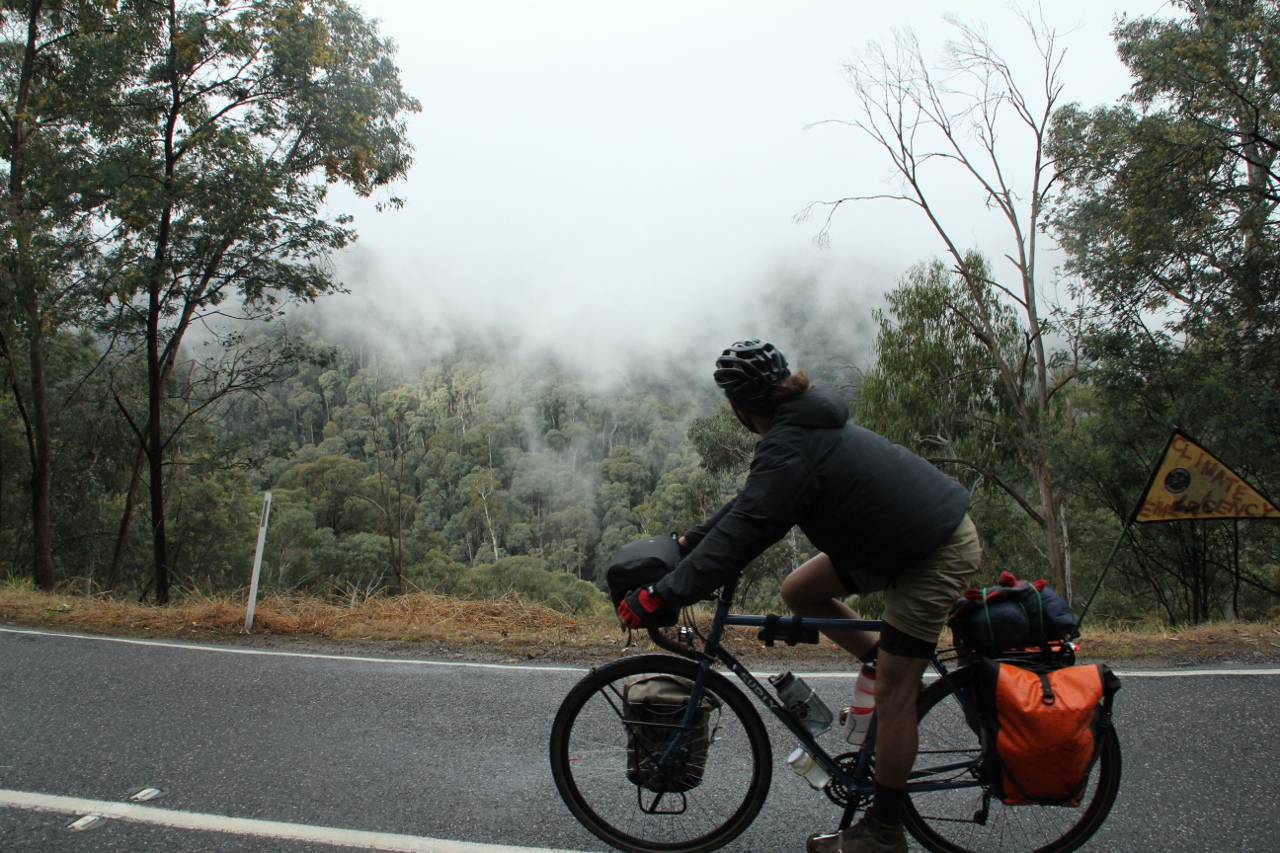
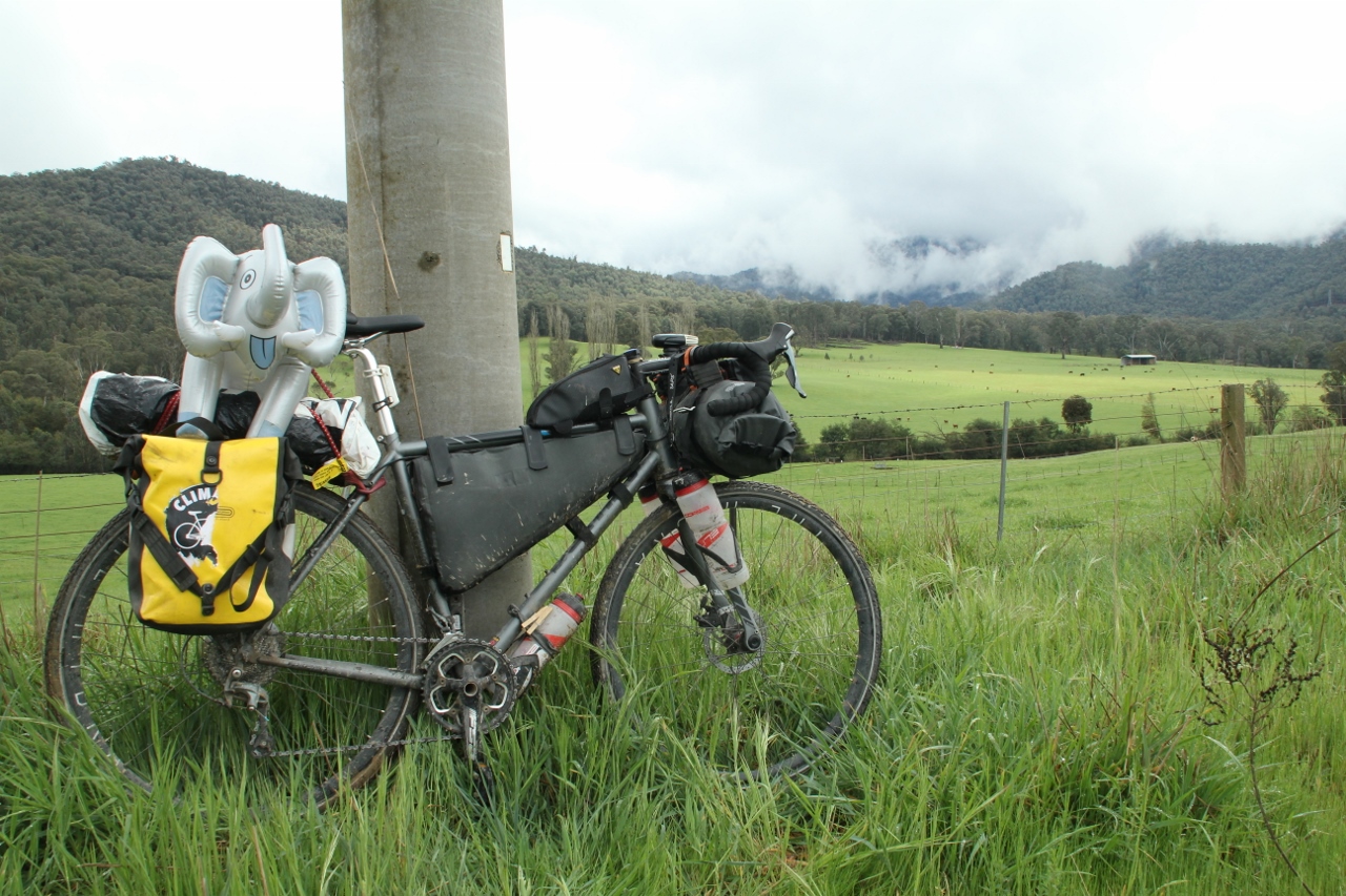
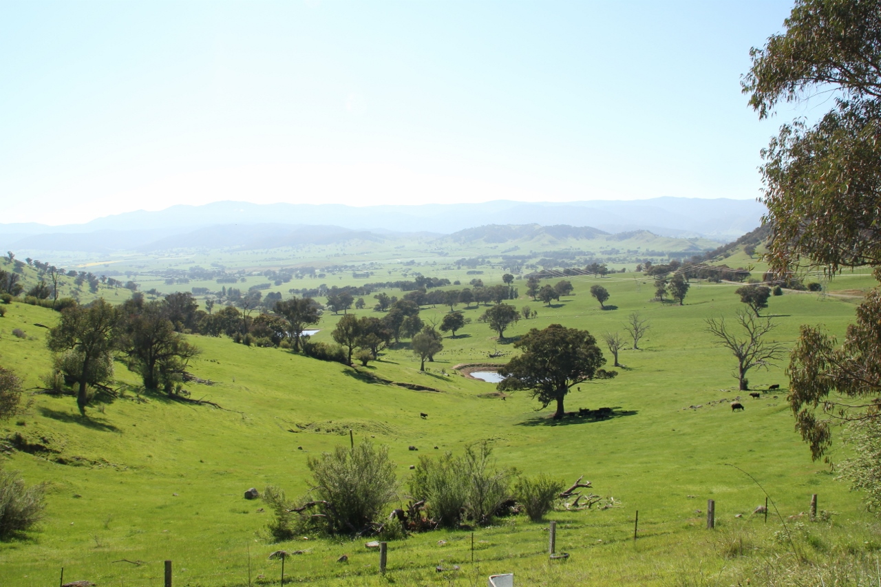
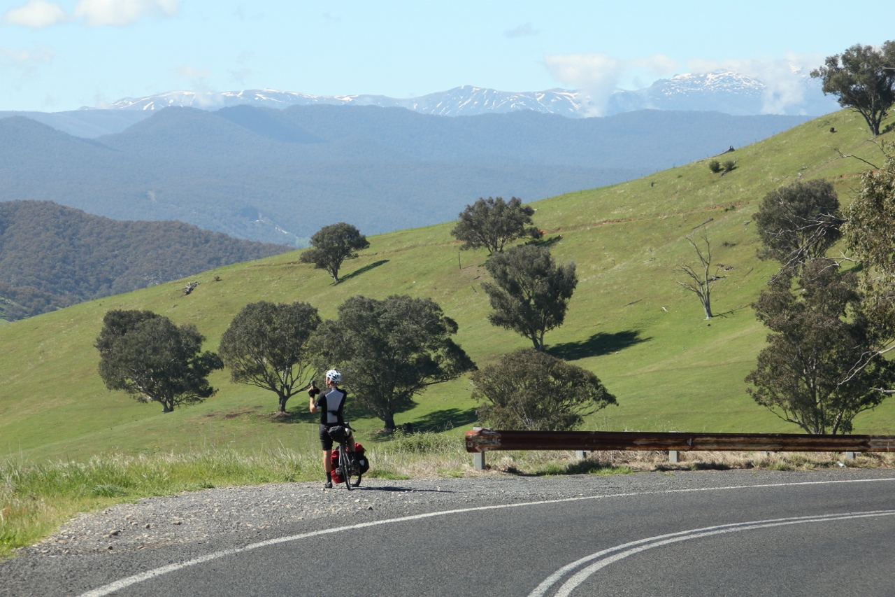
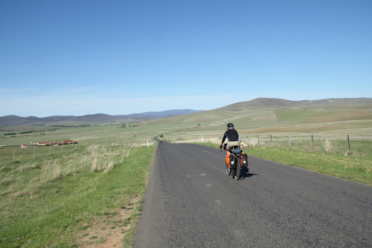
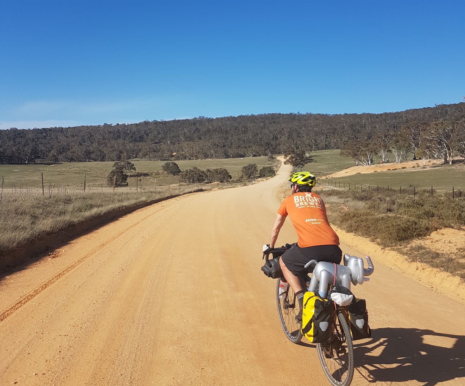
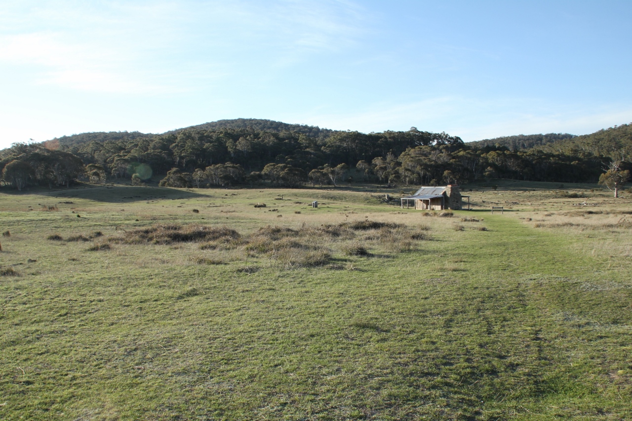
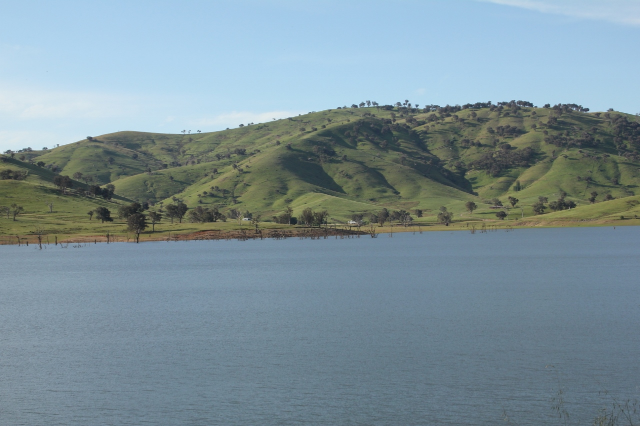
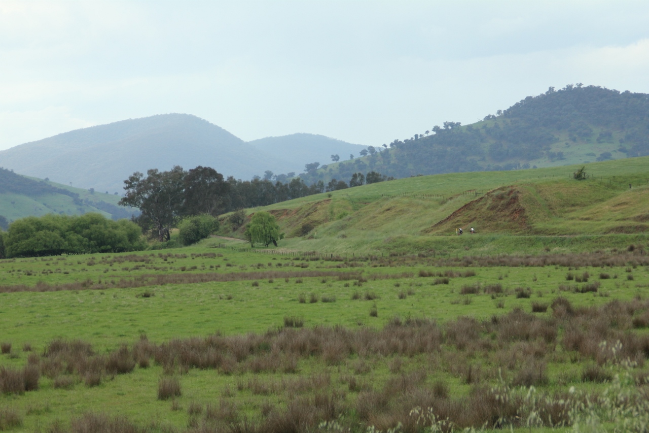
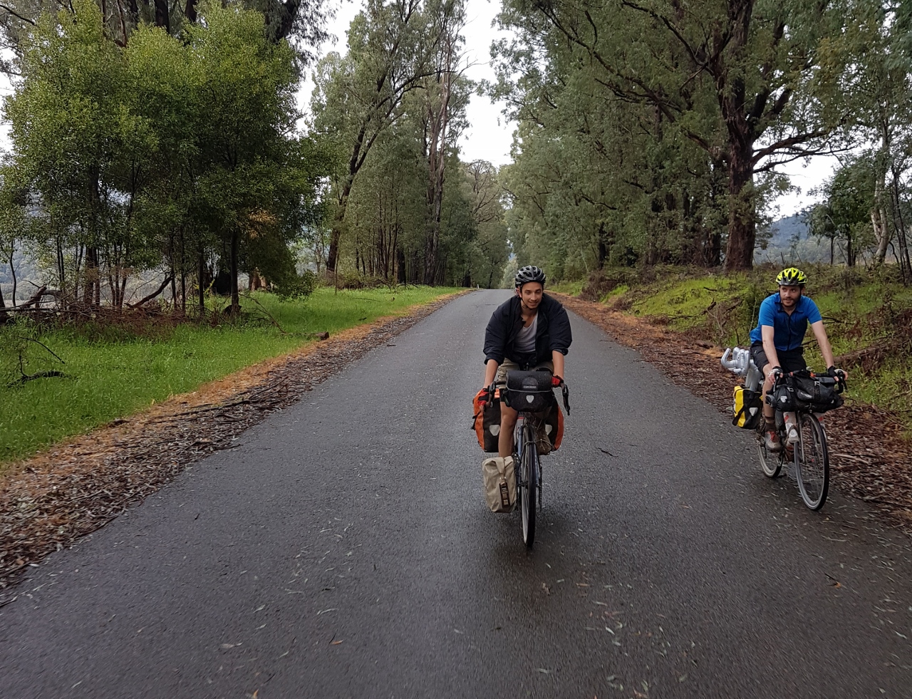
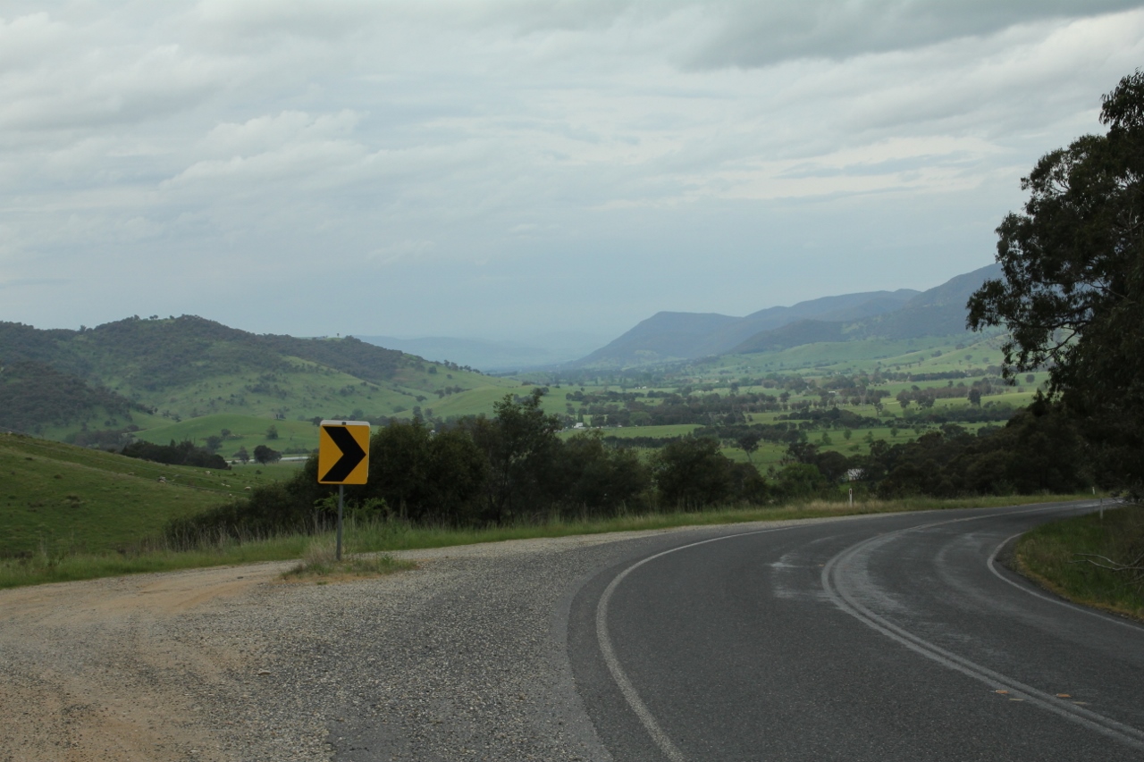
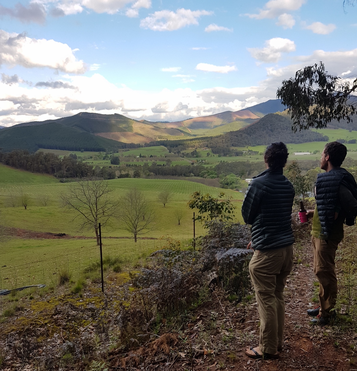
GALLERY

SOME OF THE HIGHLIGHTS
Acheron Way: one of the best roads I’ve ridden, the Acheron Way is a part-gravel, part-sealed single lane road that wends through the Yarra Ranges between Warburton and Marysville. After a good climb, you will enjoy a long and gentle downhill that winds between stands of tree ferns and mountain ash. If it doesn’t put a smile on your face, you’re dead inside.
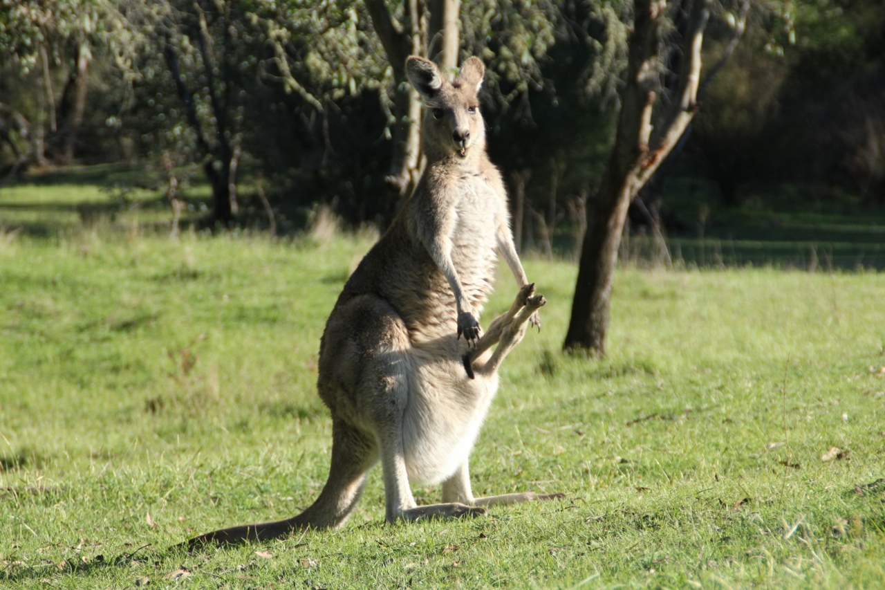
Tom Groggin campground: considered one of the most beautiful camping spots in all of Australia, there is plenty of flat grass to throw your tent down, and the fresh waters of the upper Murray to relax the muscles. Watch the kangaroos that often graze there, and gaze up at the main range of the Snowy Mountains.
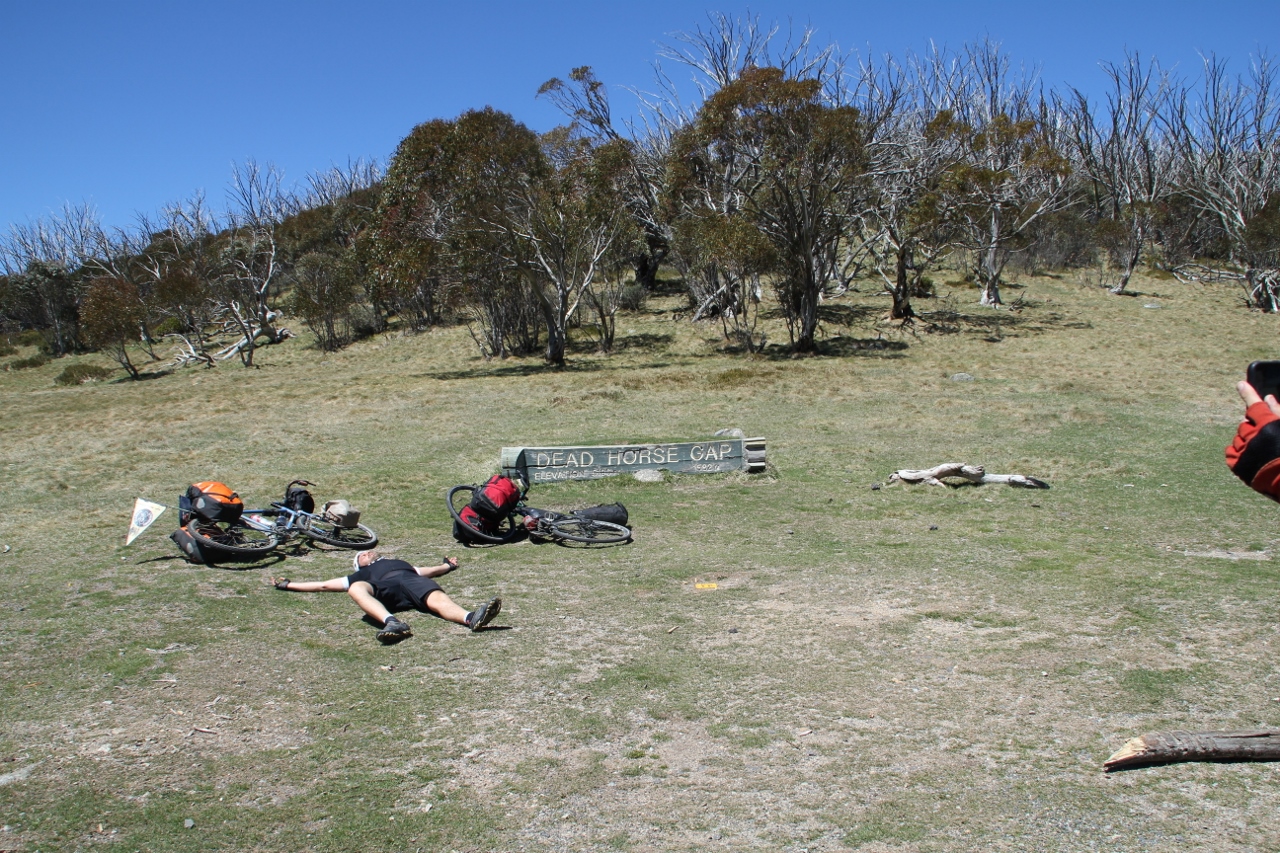
Alpine Way: after a big climb, you will go over Dead Horse Gap, the high point of the whole route. The road down the valley towards Thredbo is incredibly spectacular, with the towering peaks of the Snowy Mountains on your left. It’s one to remember.
Mansfield Whitfield Road: a quiet double lane of bitumen that winds through forested hills, this road is a hidden gem. Expect a thrilling descent with some spectacular views on the way into the King Valley and Whitfield.
Tawonga Gap: after a challenging climb, enjoy sweeping views across the Kiewa Valley. Then get ready for a fast and twisting descent to the valley floor.
Brayshaw’s Homestead, Namadgi National Park: stay for free in this historic hut, just off the road. So peaceful.
SOME IMPORTANT NOTES
Jindabyne-Berridale section: this is the only section of the route I wasn’t very happy with. There was too much traffic and no consistent shoulder to ride on. If I did it again I would consider trying this alternative (right). It leaves the route at Jindabyne and takes minor roads through to Cooma, before rejoining the main route between Adaminaby and Namadgi National Park. If you do this section, take some photos and get in touch via the contact page.
2022 update: I have received reports that this is a good alternative route. More info to come.
Lady Talbot Drive alternative: this leaves the main route at Marysville and rejoins in the Cathedral Ranges. It will add a bit of climbing and distance, but it’s meant to be rather lovely. This road is not open all year round, which is why it’s not on the official route. Check with local authorities (such as the Marysville tourist info centre) for its current status. I haven’t done this section—it was closed when we passed through—so I can’t vouch for its surface, etc. This post has some pictures and description of Lady Talbot Drive.
High Country Rail Trail: the High Country Rail Trail is great, but it’s incomplete. It seems to be in a sporadic state of development, and it’s unclear which parts are officially open and which are not. Even after consulting multiple sources, plus my own experience on the ground, I couldn’t figure it out exactly. You may have to go from the trail to the road and back a couple of times. Good luck.

Half of your donation goes directly to contributors for creating new ride guides just like this one (read more about how this works). The other half covers the costs of running the website, and what’s left is my wage for the work I put into it.
Note: the software I use to process donations insists on collecting email and postal addresses, and I can’t turn that off! I’m not interested in your personal information, so if you would rather keep that to yourself, just enter fake details.
MAPS AND INFO
Free maps in order of route
Paid maps
Hema High Country Victoria—large, detailed map printed on waterproof paper. It covers a good portion of the middle section of the route. This is a great map to own in general. It will serve you well on any other ventures you make into the large area it covers.
Rooftop’s Marysville-Lake Eildon Adventure Map—printed on waterproof paper, this map covers the section from Warburton to Mansfield.
WHEN
Generally, the ‘shoulder seasons’ (spring and autumn) provide the most congenial conditions to ride in. Be prepared for snow in the colder months. Be prepared for extreme heat and bushfire threat in the warmer months. Check the Vic Emergency or NSW Rural Fire Service for the latest warnings. You can download an app from both sites.
OTHER RIDES LIKE THIS ONE


Disclaimer: should you choose to cycle this route, you do so at your own risk. Although all reasonable efforts have been made to ensure its accuracy at the time of writing, Adventure Cycling Victoria cannot guarantee that the information herein is 100% correct. The information published is meant as a guide only, and should be combined with your own due diligence and planning. Adventure Cycling Victoria and its contributors are in no way liable for personal injury, damage to personal property, or any other such situation that might happen to individuals following this route.

Where: East Gippsland, Tambo River Valley, High Country, Mitta Valley, Lake Hume, Bairnsdale, Omeo, Albury-Wodonga
Length: 345 km
Difficulty: moderate/hard
Terrain: varied – flat, rolling hills, gradual inclines/descents, short and long climbs/descents. Some steep climbing on sealed roads.
Surface: mostly sealed, with some well groomed gravel, and rail trails to start and finish. Any gravel bike would suit.
What: rail trails, rolling green hills, long river valley roads, alpine climbs, open grazing cattle country, lakeside riding. Picturesque views for days.