

Heartland
/Where: Central Victoria: Seymour, Nagambie, Murchison, Rushworth. Traditional lands of the Taungurong people.
Length: 166km or 110km (two options)
Difficulty: Easy
Terrain: Pretty flat. Not much climbing
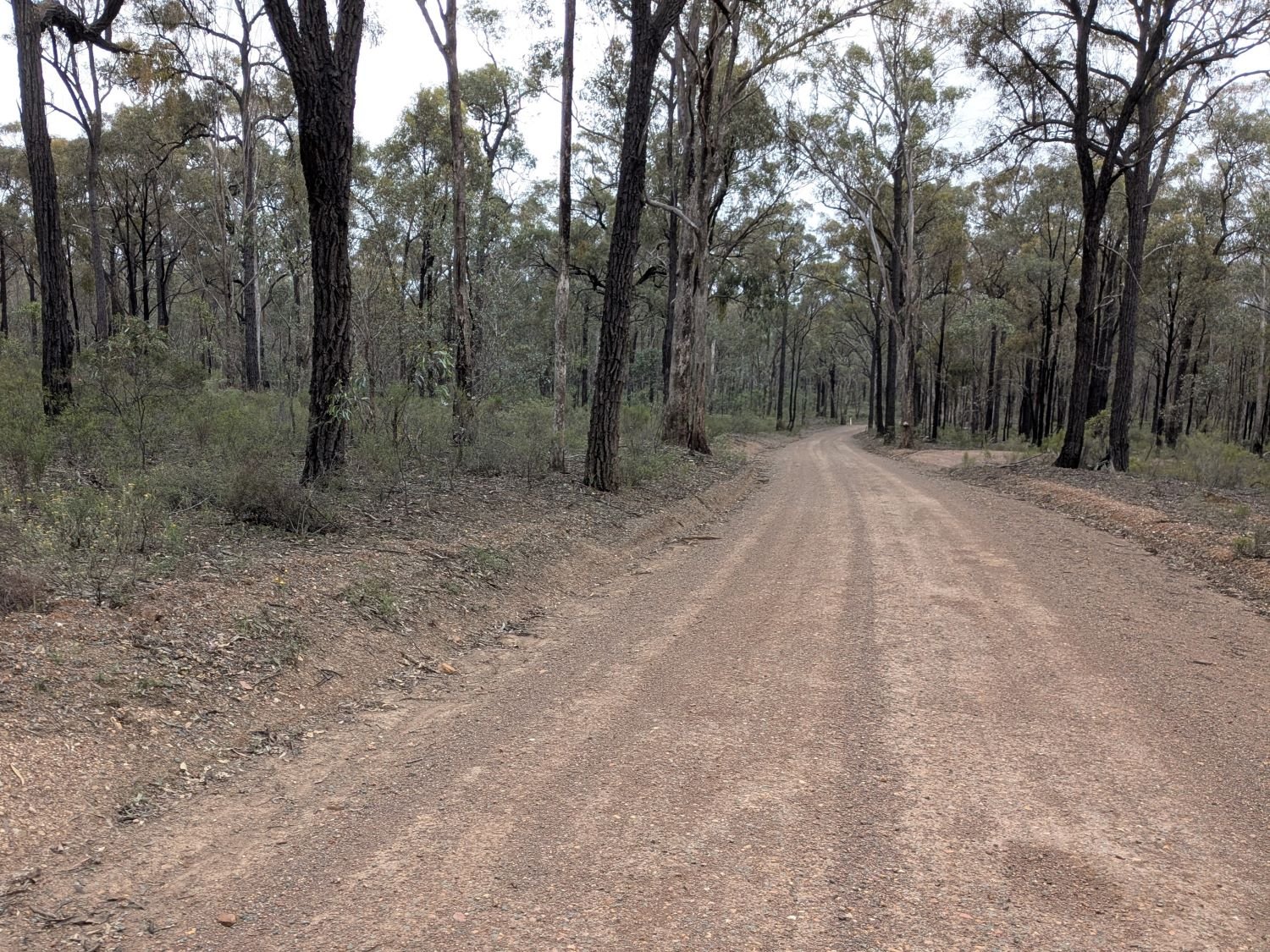
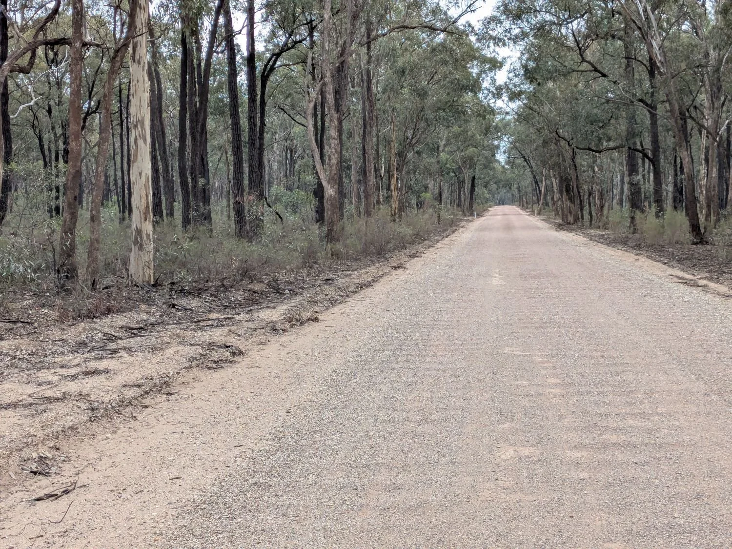
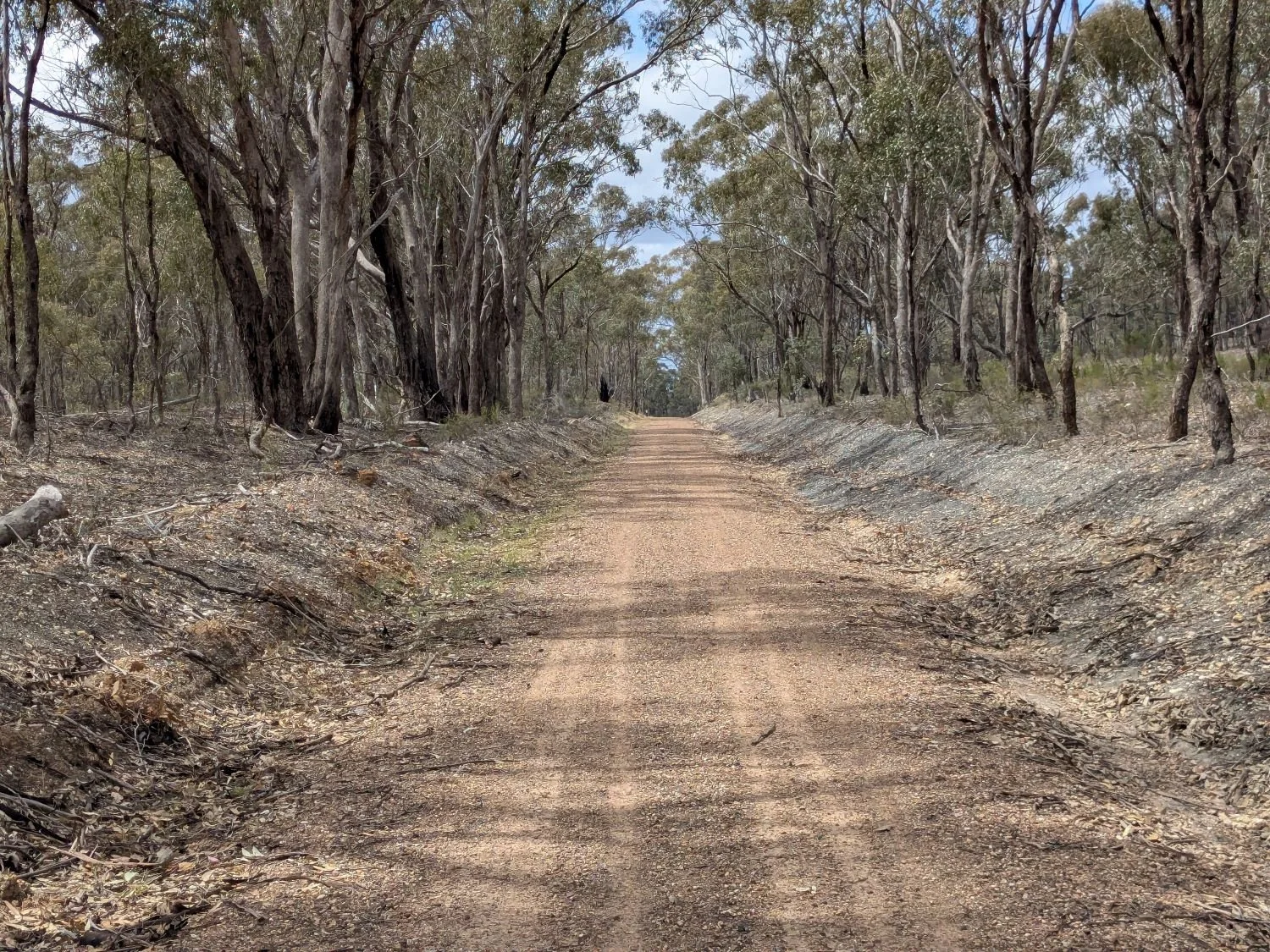
Surface: Mostly pretty well made gravel. Some sealed roads. Some sections may have chunkier/deeper gravel but nothing too crazy. Very doable on a standard gravel bike
Introduction/opening ramble
Perhaps it’s a cliche, but as I’ve grown older, I’ve become less attached to idealistic visions of the future and more appreciative of the quiet, background operations of society that puts food on people’s tables and pay for things like water pipes, power lines, roads, MRI machines, nurses, police officers, teachers and soldiers.
A good part of the interest of this ride, for me, is that it gives you an insight into how all this works. It brings you up close to the material engine of the economy, the industries like mining and farming that have built the wealth of the country and which continue, to a large extent, to underpin our prosperity.
You’ll see 19th century goldmining sites that built the grand Victorian buildings of central Melbourne, Ballarat and Bendigo; an early 20th century hand-built damn wall that was one of the biggest in the world at the time and facilitated large-scale irrigated agriculture; and kilometres-wide fields of crops and pasture, ready to be turned into food for millions.
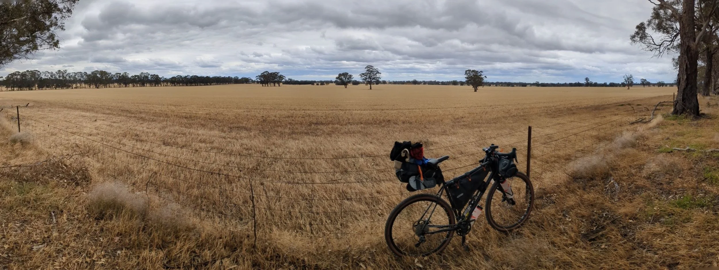
But it’s not without its charm and beauty. There is some lovely riverside camping, quiet forests, bucolic vistas, wineries and charming lakeside towns. It may not have the magnificent natural features of the Otways or the Grampians or the Yarra Ranges, but nonetheless I find it pleasant and satisfying to travel through and inherently interesting as a lived-in, working landscape. It is a representative slice of a more typical type of Australian hinterland. This is why I have called it Heartland.
If you appreciate the little things, if you have a curiosity about the world and how it works, or if you simply enjoy exploring places off the main tourist radar, you will enjoy this ride. Also, being north of the great divide, the weather is usually finer than down south, but it is easy to get to from Melbourne. This makes it a good choice if you want a weekend escape without the rain.
The ride
Much acknowledgement for this ride must go to the Nix-Tracks website, where you will find an incredible amount of riding mapped out and described in this part of the state. While this particular route is original, it was very much inspired by this work.
Heartland can start and end in either Seymour or Nagambie. The advantage of starting or ending in Seymour is that it is serviced by more frequent trains for which there is no need to pre-purchase a ticket, so long as you have a myki card. However the first part of the ride from Seymour involves some riding in 80-100kph zones on roads that have no shoulder. This sounds a little scary, and perceptions of safety can be subjective, but my experience was quite ok.
Generally speaking, traffic is light, lines of sight are long, you can hear vehicles coming from a long way off and there is space on the side of the road to roll onto if you feel you need to. For most of this distance, even though there is no demarcated shoulder, the road is reasonably wide anyway.
Starting or ending in Nagambie shortens the ride and takes you straight to the more scenic parts of it, however trains are less frequent and tickets must be pre-purchased.
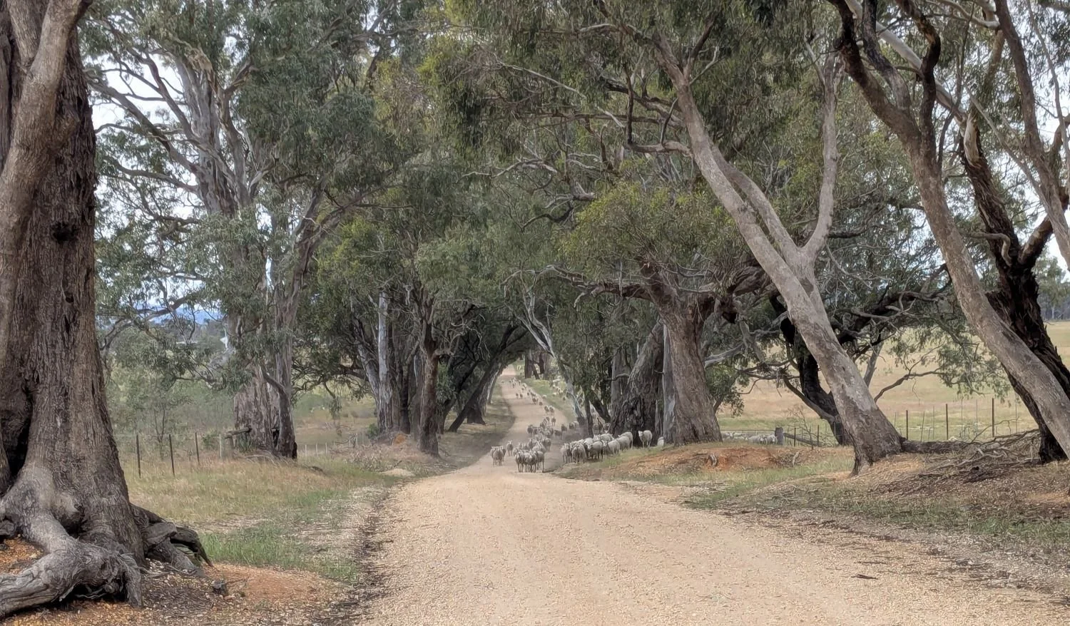
Starting at Seymour station, you will take Seymour-Avenel Road out of town to the north, a straight and flat sealed road that parallels the train line. You will take a left at O’connors Road and cross the train tracks. This turn off is just after you pass Mangalore pub (unfortunately closed as of writing) and the former Mangalore train station. This soon swings right and turns into a farm lane where I had to stop and let a farmer drive his sheep past.
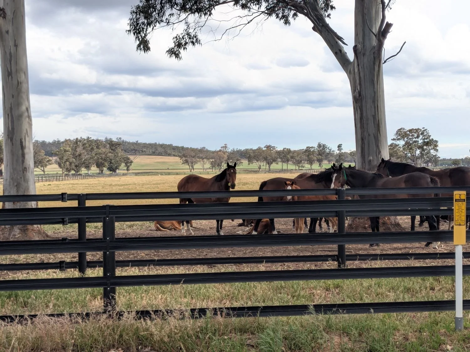
You will soon end up on another sealed road that parallels the Goulburn Valley Highway until you reach a flyover that takes you to the western side of the highway. You will begin pedalling along Mitchellstown Road, a rather pleasant ride past a large horse stud, across an old wooden bridge and through some vineyards. Mitchelton Wines is in this area and offers luxe accommodation if you want to make a fancy weekend of it. You will also pass a monument marking an expedition of the European explorer Major Thomas Mitchell.
At about km33 you will reach Major Creek camping area, a large, sprawling, informal and quite pleasant river-side camping area. There are drop toilets but no potable water. At the time I did this ride there were signs up warning of mosquito-borne Japanese Encephalitis in the area, just to give you a heads up.
From here there is a series of very out-of-the-way gravel roads through some bushland and farmland which bring you out to Heathocote-Nagambie Road. At the time I rode it there was virtually no traffic, so you could ride this straight to Graytown if you wanted to cut off a few kilometres, or you can take a detour on a gravel track through some bushland as shown on the map.
Graytown is not a town anymore, so don’t expect to find any facilities. From Graytown take Graytown-Rushworth road north, which eventually merges with Nagambie-Rushworth Road before arriving in Rushworth. This section is a quiet, pleasant ramble through a large area of bushland. There are plenty of smaller tracks running through this area too if you feel like exploring.
You will also pass some old gold-mining sites with interpretative signage that describe some of the history of these places. I always find it interesting to think about how these now lonely, deserted locations were once hives of feverish extraction that for a time made Melbourne the richest city in the British Empire outside of London.
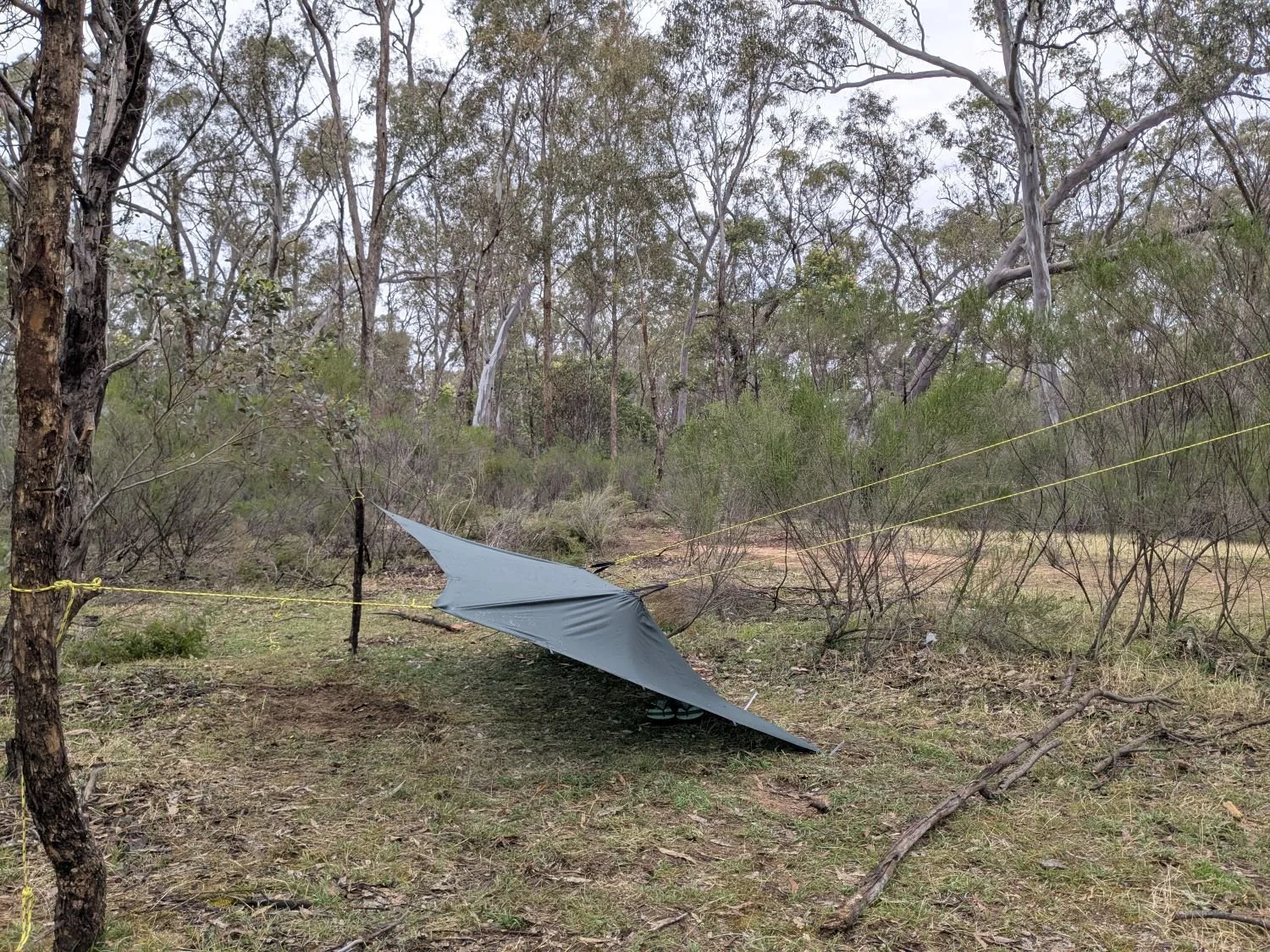
If you take a left on Boundary Road (which is more like a track) at km52 you will come to Spring Creek camping/picnic area after a few hundred metres. There isn’t much here, just a picnic table in a clearing, but it is as pleasant a spot as any to roll out a tent and spend the night. And it’s a good idea to have a tent, rather than, say, a tarp, unless you want to spend the night with some rather large ants and spiders as I did. Obviously I lived to tell the tale but I’ve had sounder night’s sleep. “Spring Creek" is more like a ditch that probably only runs with water after heavy rain, so don’t expect to be able to collect water here.
Entering Rushworth is rather beguiling. One minute you feel like you’re in the middle of the bush, then you come over a crest and there’s the town right in front of you. It’s a really nice little historic-feeling town, with some good cafes, accommodation, supermarket and pub. It also marks the start of the Waranga Rail Trail which, having only opened in May 2025, is one of Victoria’s newest.
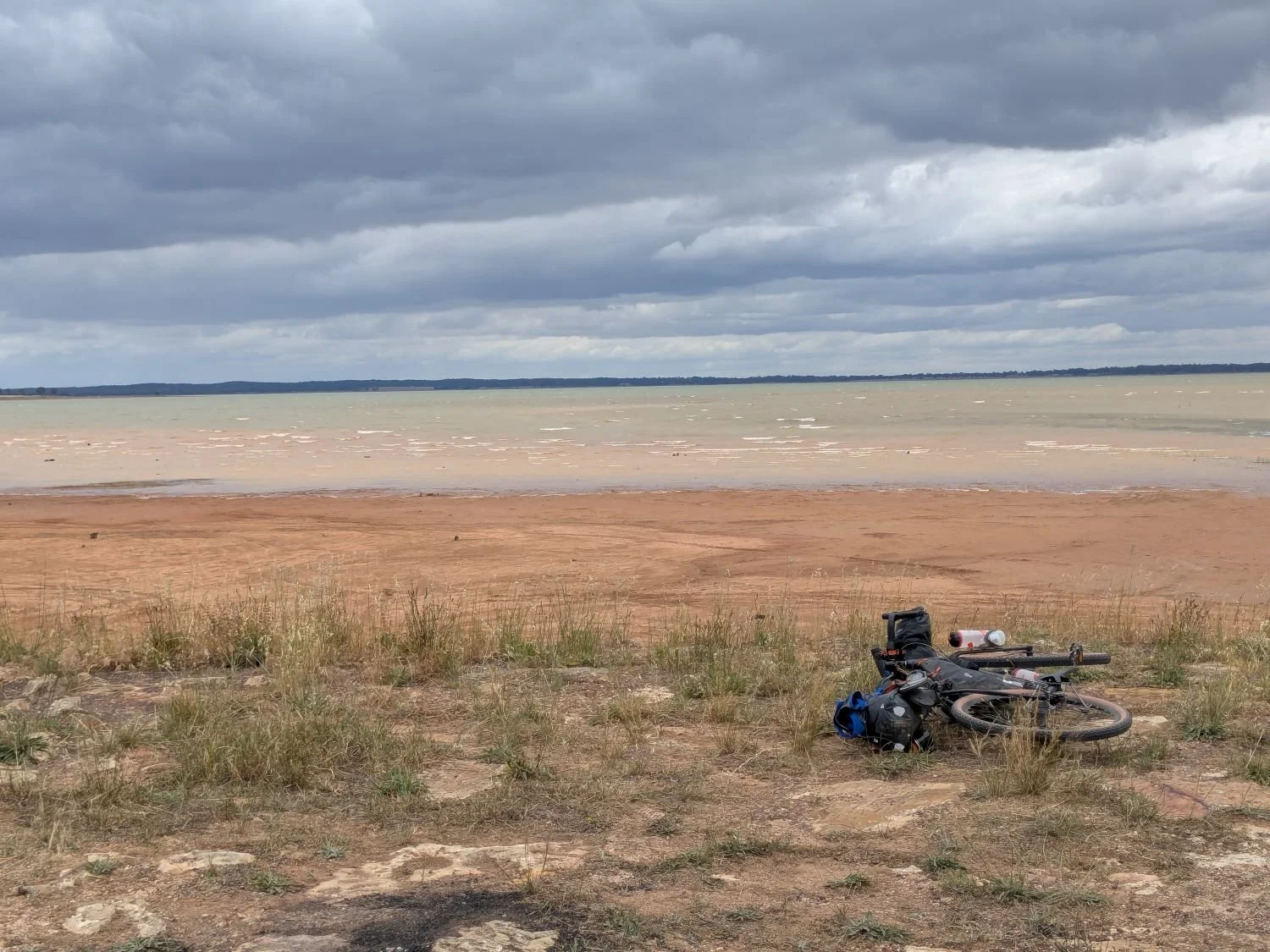
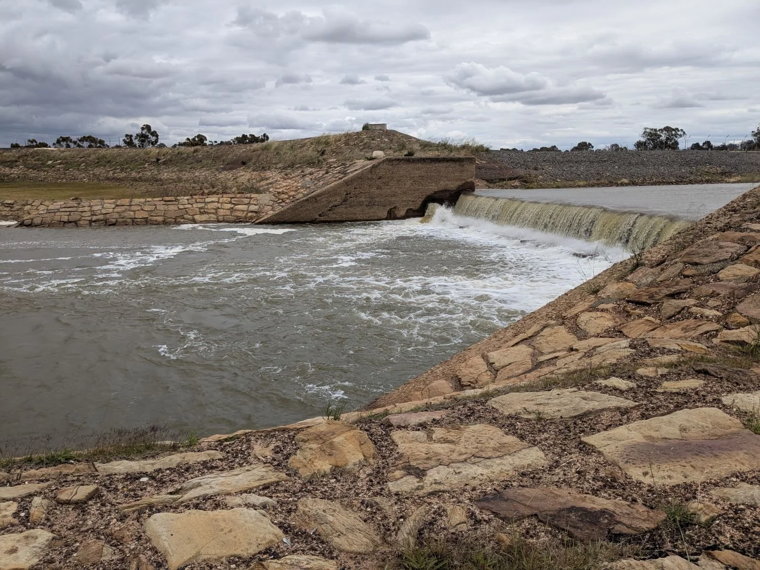
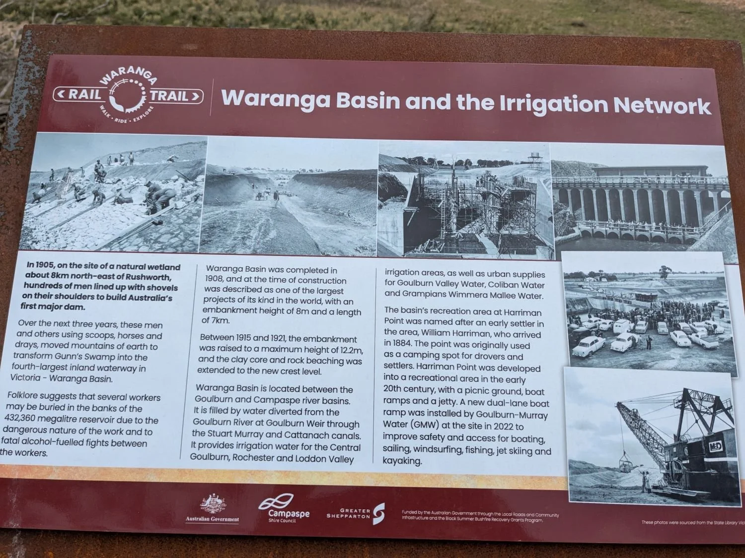
If you want to shorten the ride you could take the rail trail all the way to Murchison, but I would recommend the detour north to the Waranga Basin damn wall. It gives you some great views of Victoria’s fourth-largest inland waterway, and the dam wall is really interesting. It was built by hand in the early twentieth century, and was originally 8 metres high and 7 kilometres long, before being raised higher still several years later.
It was thought to be one of the world’s largest such constructions at the time and was Australia’s first major dam. It provides irrigated water for farming and urban water for several regional centres. There is also a very large beach right next to the dam wall which feels quite remarkable in an inland location.
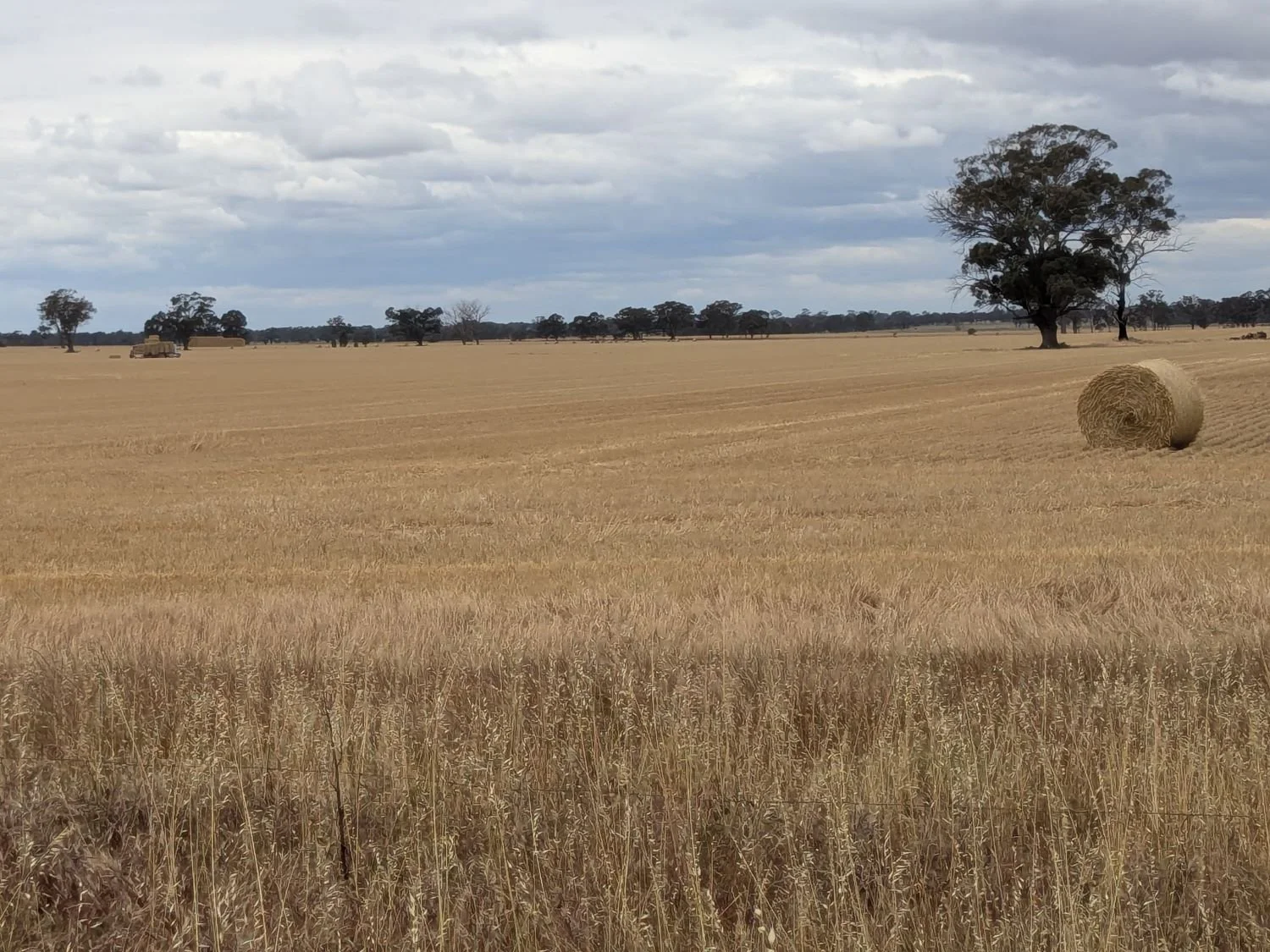
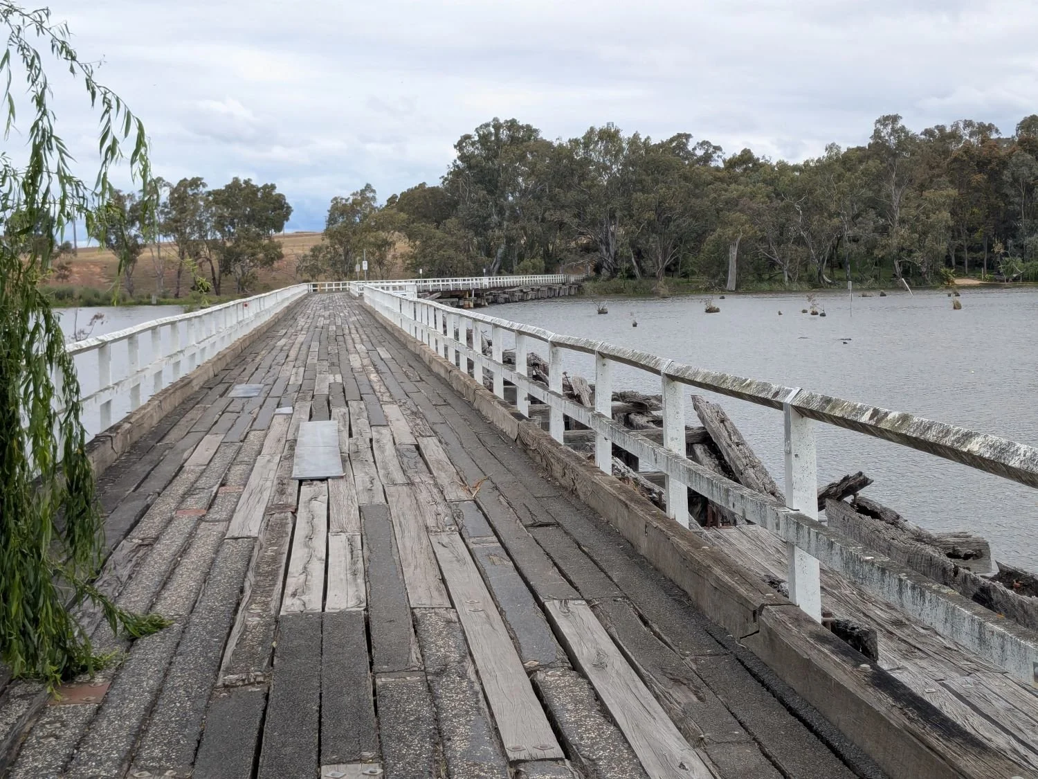
The trip back to the rail trail takes you past some epic paddocks of crops and pasture, as well as alongside a large channel which is part of the irrigation network. From Murchison you’ll take a riverside sealed road to Kirwan’s Bridge, which is the longest continually operating wooden bridge in Victoria. This takes you to the other side of Goulburn weir and to Nagambie, a large town by the lake.
I was running out of time by this time on my ride so I bombed south strait out of Nagambie on O’Dwyer Road which was fine because there is a good shoulder to ride on the whole way, but there is a presumably quieter and more scenic detour to the west shown on Nix-Tracks interactive GABCY map: GABCY Network v2 - uMap - Online map creator
From there it’s back on the ‘commute’ into Seymour.
Camping/Accommodation
Free camping at Major Creek (with drop toilets) and Spring Creek (no facilities), see map for more details.
Various accommodation including hotels, motels and caravan parks en route, in Rushworth, Murchison area and Nagambie.
Mitchelton Winery and Hotel
Attractions
Pleasant bush camping by the river
Historic gold mining sites
Historic Rushworth township
Waranga Basin and historic dam wall
Wineries
Bucolic country scenery
Dryer weather than further south
When
Be prepared for extreme heat and fire risk in summer. Consult the Bureau of Meteorology for weather forecasts and VicEmergency for emergency information.
Getting there
This ride can be accessed from the V-line train network.
Disclaimer: should you choose to cycle this route, you do so at your own risk. Although all reasonable efforts have been made to ensure its accuracy at the time of writing, Adventure Cycling Victoria cannot guarantee that the information herein is 100% correct. The information published is meant as a guide only, and should be combined with your own due diligence and planning. Adventure Cycling Victoria and its contributors are in no way liable for personal injury, damage to personal property, or any other such situation that might happen to individuals following this route.
